Right Now

Hourly Forecast
56° 56° 57° 57° 58° 60° 61°
61° 63° 65° 66° 66° 66° 65° 63° 61° 60° 59°
 58° 57° 57° 57° 57° 57° 57°
7-Day


Bay Area Weather Forecast
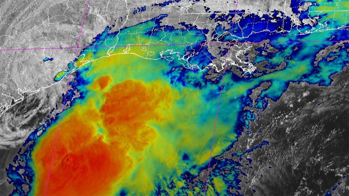
The brief midweek heat spike peaks tomorrow, but a major upper-level storm system will arrive by Friday to slash temperatures and bring howling, 40-mph wind gusts through the weekend. 1. Final Hours for the Beach Warning (Wednesday Expiration) The Threat: The long-period southerly swell is still actively battering the coast this evening. The Window: The Beach Hazards Statement remains in effect until Wednesday 5 PM. Danger: Deceptive sneaker waves and intense rip currents remain highly active on all Pacific beaches. 2. Tonight's Coastal Visibility Alert The Impact: Because the marine layer is shallower tonight (1,200 feet), the fog will not spread quite as far inland as previous nights. Instead, it will pack tightly against the coastal hills. The Hazard: Expect dense fog and rapid visibility drops along immediate coastal highways and coastal terrain through Wednesday morning with localized drizzle.. 3. Midweek Heat Peak (Wednesday & Thursday) The Trend: Subtle high pressure is compressing the marine layer to around 1,200 feet. Because of this, tomorrow morning's fog will clear out earlier than today. The Numbers: Inland valleys will reach the mid/high 80s which is seasonal!
Interactive Radar
KTVU Weather Team


Severe Weather
View More