

El Niño explainer: Some forecast models suggest possible record-setting event
El Niño Explainer: Conditions return this year
El Niño is a natural recurring climate pattern that has its origins in the Pacific Ocean. The pattern will return this year as conditions change. KTVU Chief Meteorologist dives in on what this means.
Super El Niño?
OAKLAND, Calif. - "Super" is not an official classification on the intensity scale.
However, some of the forecast models, including those from the Climate Prediction Center, have been suggesting that the pending El Niño event, for the winter of 2026-2027, could approach the higher extreme of the very strong range. If this were to happen, it could be a record-setting event and may drastically affect the winter storm patterns.
What is El Niño?
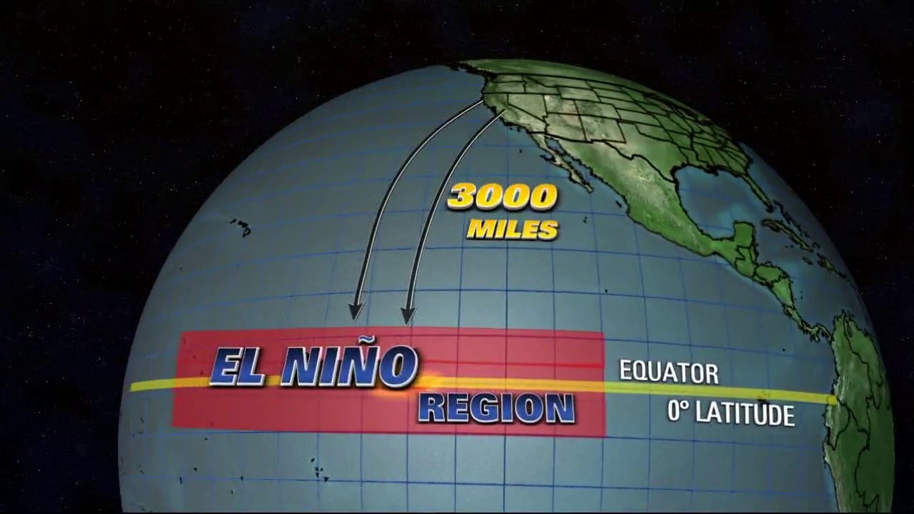
El Niño is a recurring natural climate pattern that has its origins in the Pacific Ocean. While there are always changing patterns in the offshore waters adjacent to the Bay Area, the region that forecasters examine is over 3,000 miles away in the Equatorial Pacific.
This region is called Enso 3.4. This is the defined area where researchers monitor sea surface temperatures. If warmer than normal water temperatures are observed, El Niño conditions are present.
What determines the strength of El Niño?
A weak El Niño or a strong El Niño? The magnitude of the warming dictates the strength.
The intensity scale runs from weak to moderate to strong to very strong.
The extremes
A weak El Niño is linked to slightly warmer than average water temperatures starting at .5 degrees Celsius. A pattern with water temperatures running at least 2 degrees above normal is labeled as a very strong event. This has occurred four times since 1950.
How does El Niño affect the storm track?
A strong El Niño has the potential to shift the winter storm track boosting the odds for an active winter for parts of the United States. In California, there is a higher chance of above normal rainfall for the southern half of the state.