

The hazard you need to know about before the weekend
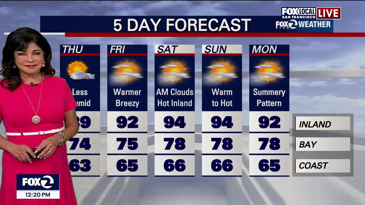
Thursday Temperature Forecast Coastal Areas: Cool conditions ranging from the upper 50s to lower 70s. Bayside Areas: Mild and comfortable temperatures in the 70s. Inland Areas: Warmer conditions in the 80s Hot Spots: The interior southern Central Coast (including Lockwood, Bradley and Parkfield) has the highest chance to clear 100°F. Long-Term Outlook (Friday – Next Tuesday) Weather Driver: A high-pressure ridge over the Southern Plains will shift west toward the Four Corners region over the weekend. Interior Warming: This atmospheric shift will compress the marine layer, triggering a minor warming trend in the far inland valleys. (low - mid 90s over the weekend) Summer Routine: Despite the slight inland warmup, temperatures will hover near seasonal averages with a standard daily pattern of overnight fog rolling inland and burning back to the coast by late morning. A Beach Hazard Statement is in effect beginning Saturday, July 25 through Tuesday, July 28 for sneaker waves and dangerous rip currents.
Top Videos
The hazard you need to know about before the weekend

Earthquake swarm strikes South Bay

CHP begins Thanksgiving holiday enforcement

Black Friday deals curbed by tariff-driven costs

Navigating holiday travel as a non-citizen

Laney College to make security upgrades

Officers detain teens with BB gun

Man receives 2 life sentences for brutal beating of "Grandma Huang"

Foster City man arrested in wife's cold case killing

Celebrating Native Culture: Oakland's Intertribal Friendship House

Older drivers' confidence plummets around age 70
Most Watched

Trump-Zelenskyy Oval Office confrontation

Woman sought after kicking dog in Pittsburg

Patient files lawsuit Kaiser Permanente, alleges sexual assault during surgery

Trump marks 30 days in Oval Office | West Coast Wrap

Gas prices climb in California while they fall in other states

Hundreds of NOAA scientists fired

Arrests and guns seized in probe of Oakland carjacking tied to pot dispensaries

Protesters work to disrupt ICE raid | West Coast Wrap

San Jose teen killed by alleged gang members for wearing red


