

Midweek temperature tumble
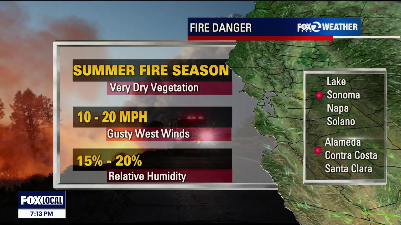
The peak of this week's heatwave is currently hitting its final hours tonight, with a Heat Advisory remaining active until 9:00 PM for the interior Bay Area. A major pattern change arrives at midnight, bringing a rapid cooldown, muggy overnight humidity and a return of thick coastal fog. Air Quality Alert for the East Bay until Midnight. Could be extended tomorrow. We will keep a watchful eye! Today was officially the hottest day of the week, with inland areas soaring into the 90s and local hotspots cracking 100°F. Tomorrow brings instant relief as strong onshore marine winds rush back into the region. Interior valleys will experience a significant drop, topping out in the comfortable mid-70s to 90 degrees. The Coast: Highly comfortable, crisp conditions will prevail with daytime highs staying in the mid-60s to mid-70s. Tonight's Muggy Fog & Drizzle Timeline (Pattern Change at Midnight) The Setup: A compressed marine layer is quickly rebuilding over the ocean, locking in high, muggy humidity tonight.
Top Videos
Midweek temperature tumble

Earthquake swarm strikes South Bay

CHP begins Thanksgiving holiday enforcement

Black Friday deals curbed by tariff-driven costs

Navigating holiday travel as a non-citizen

Laney College to make security upgrades

Officers detain teens with BB gun

Man receives 2 life sentences for brutal beating of "Grandma Huang"

Foster City man arrested in wife's cold case killing

Celebrating Native Culture: Oakland's Intertribal Friendship House

Older drivers' confidence plummets around age 70
Most Watched

Trump-Zelenskyy Oval Office confrontation

Woman sought after kicking dog in Pittsburg

Patient files lawsuit Kaiser Permanente, alleges sexual assault during surgery

Trump marks 30 days in Oval Office | West Coast Wrap

Gas prices climb in California while they fall in other states

Hundreds of NOAA scientists fired

Arrests and guns seized in probe of Oakland carjacking tied to pot dispensaries

Protesters work to disrupt ICE raid | West Coast Wrap

San Jose teen killed by alleged gang members for wearing red


