

Online map available for CZU Lighting Complex Fire debris removal
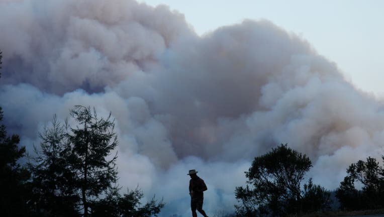
SAN MATEO COUNTY, CALIFORNIA - AUGUST 18: A looker-on watches as a fire burns near Pescadero in San Mateo County, Calif., on Tuesday, August 18, 2020. (Photo by Nhat V. Meyer/MediaNews Group/The Mercury News via Getty Images)
SANTA CRUZ COUNTY, Calif. - An online map to help Santa Cruz County residents in the burn area of the CZU Lightning Complex fires track removal of debris and household hazardous waste has been established by the U.S. Environmental Protection Agency.
Cleanup by U.S. EPA crews is the first phase of restoring the 86,500-acre burn area for repopulation and the map is being updated to indicate which properties have been cleared and are eligible for the second phase of the debris removal process.
The map can be found in the "Maps + Data" section of the Santa Cruz County website, www.santacruzcounty.us/firerecovery.
A white placard will also be placed at cleared properties to let their owners know that cleanup and assessment are completed, officials said.
Cleanup crews "will wear safety gear with U.S. EPA logos and will not solicit residents for goods or services," officials said, noting that the process may lead to traffic disruptions.
Residents with property losses or damage are advised to verify that their address is included in the map and if it is omitted to call the U.S. EPA hotline at (415) 793-8794 to provide the address for inclusion in the household hazardous waste removal program. There is no cost to residents for the service.
Residents can also call the hotline to report property details such as hazards and other pertinent information to debris removal teams.