

Storm moving into Bay Area, significant snow in Sierra
Heading back to winter
Another spring storm will impact the Bay Area over the next 3 days. This system will have 3 parts. First part (Mon): Light to moderate rain expected. The cold front, along with a band of heavy rain, moves in late afternoon-evening. Second part (Tue): The cool, unstable part of the system moves in. Thunderstorms chances will be increasing. Third part (Wed): Lingering showers expected. The activity should be decreasing later in the day. Significant snow in the Sierra too! A Winter Storm Watch has already been drafted.
OAKLAND, Calif. - A cool and vigorous Pacific storm system is moving into the region, bringing a multi-day weather event to the Bay Area and significant snowfall to the Sierra Nevada.
Meteorologists expect the storm to unfold in three distinct phases starting Monday.
Phase 1: Monday
Light to moderate rain is expected to develop across the Bay Area early in the day. A more organized frontal band is scheduled to arrive late Monday afternoon and persist through the early evening. Residents should prepare for strengthening southern winds, with gusts potentially reaching 40 mph.
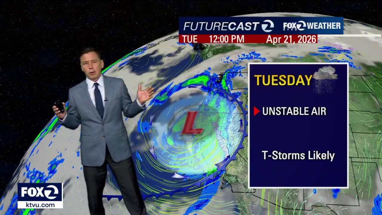
Phase 2: Tuesday
Tuesday is forecast to be the most active day of the week as a cold pool of air moves overhead. The atmospheric instability is expected to trigger rapidly developing storm cells, which could produce thunderstorms, heavy downpours, and hail across the region.
Phase 3: Wednesday
The system will begin to move out of the Bay Area on Wednesday. While the storm will be winding down throughout the day, widely scattered showers are still expected to linger.
Forecasters anticipate the North Bay and Santa Cruz Mountains could get up to 2 inches of rain, the South Bay up to 1.5 inches and the inland valleys about 1. 25 inches.
Sierra snow, travel impacts
The storm is also expected to be a significant snow producer for the Sierra.
A Winter Storm Watch has been issued for the Tahoe area from Tuesday morning through Wednesday afternoon. While lake-level areas may see a few inches of accumulation, the highest peaks could receive over 20 inches of fresh snow.
Due to the cold nature of the system, snow levels may drop to near 4,500 feet by Wednesday. Travelers should anticipate delays over the summits of Interstate 80 and Highway 50 throughout the mid-week period.