


Cold storm bringing unsettled weather
Bundle up everyone, a cold storm will drop our temperatures, kick up the wind in our hills and bring a few showers between now and Sunday. A Wind Advisory is in place for our North Bay Hills until 10 AM Sunday. A Freeze Watch for Bay and Inland begins late tonight. A Winter Weather Advisory for the West Slope and Greater Lake Tahoe Area is in effect until 4 PM Sunday.
Bundle up everyone, a cold storm will drop our temperatures, kick up the wind in our hills and bring a few showers between now and Sunday. A Wind Advisory is in place for our North Bay Hills until 10 AM Sunday. A Freeze Watch for Bay and Inland begins late tonight. A Winter Weather Advisory for the West Slope and Greater Lake Tahoe Area is in effect until 4 PM Sunday.


Chance of showers this weekend
A cool system will be moving into the Bay Area this weekend. Shower chances have also been added to the forecast. A Wind Advisory is posted for the North Bay Hills. Gusts could approach 50 mph. Highs should range from the mid to upper 50s. Have a great weekend! -Mark
A cool system will be moving into the Bay Area this weekend. Shower chances have also been added to the forecast. A Wind Advisory is posted for the North Bay Hills. Gusts could approach 50 mph. Highs should range from the mid to upper 50s. Have a great weekend! -Mark


Sunny, breezy, cooler afternoon
Today will be sunny, breezy and cooler in the afternoon.
Today will be sunny, breezy and cooler in the afternoon.


Cooling trend begins
High clouds will move into the Bay Area Friday. Our cooling trend begins, Highs should range from the upper 50s to the upper 60s. This weekend forecast features cooler temperatures and gusty winds. Shower chances have been added to the Saturday forecast.
High clouds will move into the Bay Area Friday. Our cooling trend begins, Highs should range from the upper 50s to the upper 60s. This weekend forecast features cooler temperatures and gusty winds. Shower chances have been added to the Saturday forecast.


Sun, breezy
Today will be sunny and breezy. Temps in the 60s and 70s.
Today will be sunny and breezy. Temps in the 60s and 70s.


Another sunny forecast
Plan on another chilly start Thursday morning. Temperatures will drop into the 30s and 40s across the Bay Area. Mostly sunny skies and mild conditions return for the afternoon. Highs should range from the mid 60s to the low 70s. We are still tracking a cooler, windy pattern this weekend. The slight chance of showers remain in the forecast.
Plan on another chilly start Thursday morning. Temperatures will drop into the 30s and 40s across the Bay Area. Mostly sunny skies and mild conditions return for the afternoon. Highs should range from the mid 60s to the low 70s. We are still tracking a cooler, windy pattern this weekend. The slight chance of showers remain in the forecast.


Clear, sunny
Today will be clear and sunny. Temps in 60s and 70s.
Today will be clear and sunny. Temps in 60s and 70s.


Frosty overnight forecast
The stretch of chilly overnight temperatures continues. A Freeze Warning has been posted for the North Bay Wednesday morning. Frost Advisories are also issued for much of the Bay Area. Overnight lows should range from the upper 20s to the low 40s. Temperatures should recover nicely, under mostly sunny skies, later in day. Highs should warm into the 60s. We are still tracking the chance of Saturday showers.
The stretch of chilly overnight temperatures continues. A Freeze Warning has been posted for the North Bay Wednesday morning. Frost Advisories are also issued for much of the Bay Area. Overnight lows should range from the upper 20s to the low 40s. Temperatures should recover nicely, under mostly sunny skies, later in day. Highs should warm into the 60s. We are still tracking the chance of Saturday showers.


Clear blue skies
Today will be sunny, mild and breezy with clear blue skies.
Today will be sunny, mild and breezy with clear blue skies.


Dry, cool afternoon
It's a cold, foggy start with a Dense Fog Advisory until 12p for parts of the North Bay and Santa Clara Valley. Morning temps. range from low 30s to mid 40s, followed by upper 50s to low 60s for the afternoon. The Beach Hazard continues with increased Rip Currents and Sneaker Waves until Monday 7pm. A Wind Advisory is scheduled for the Interior North Bay Hills from Monday 4am - Tuesday 1am.
It's a cold, foggy start with a Dense Fog Advisory until 12p for parts of the North Bay and Santa Clara Valley. Morning temps. range from low 30s to mid 40s, followed by upper 50s to low 60s for the afternoon. The Beach Hazard continues with increased Rip Currents and Sneaker Waves until Monday 7pm. A Wind Advisory is scheduled for the Interior North Bay Hills from Monday 4am - Tuesday 1am.


Clearing skies Sunday
No big changes in the Sunday forecast. Patchy clouds will resurface during the morning hours. Bundle up to start off the day! Lows will range from the low 30s to the mid 40s. Mostly sunny skies will highlight the afternoon forecast. We are tracking the potential for stronger winds in the Monday forecast. Enjoy the rest of your weekend! -Mark
No big changes in the Sunday forecast. Patchy clouds will resurface during the morning hours. Bundle up to start off the day! Lows will range from the low 30s to the mid 40s. Mostly sunny skies will highlight the afternoon forecast. We are tracking the potential for stronger winds in the Monday forecast. Enjoy the rest of your weekend! -Mark


Dry and cool
Our dry, cool pattern remains through the holiday weekend. Morning overcast sky and chilly temps. will turn partly cloudy today with afternoon highs ranging from the upper 50s - low 60s. An increased risk of Rip Currents and Sneaker Waves will develop tonight with a Beach Hazard Statement beginning at 7pm.
Our dry, cool pattern remains through the holiday weekend. Morning overcast sky and chilly temps. will turn partly cloudy today with afternoon highs ranging from the upper 50s - low 60s. An increased risk of Rip Currents and Sneaker Waves will develop tonight with a Beach Hazard Statement beginning at 7pm.


Clearing skies Saturday
Low clouds and fog should resurface Saturday morning. Partly sunny skies are expected later in the day. Highs should range from the mid 50s to the low 60s. There is no rain in sight.
Low clouds and fog should resurface Saturday morning. Partly sunny skies are expected later in the day. Highs should range from the mid 50s to the low 60s. There is no rain in sight.


Cooler Friday forecast
A weak cold front will usher in more clouds Friday morning. Partly sunny skies are expected later in the day. Temperatures will cool off a bit. Highs should range from the mid 50s to the low 60s. Our dry weather stretch continues. Stronger winds could move into the picture by the Sunday - Monday timeframe.
A weak cold front will usher in more clouds Friday morning. Partly sunny skies are expected later in the day. Temperatures will cool off a bit. Highs should range from the mid 50s to the low 60s. Our dry weather stretch continues. Stronger winds could move into the picture by the Sunday - Monday timeframe.


Sunny, high 60s
Today will be sunny with highs in the 60s
Today will be sunny with highs in the 60s


More sunshine
Your Thursday forecast features another round of mostly sunny skies. After a chilly morning, most neighborhoods will warm into the 60s. We are expecting more clouds Friday morning. The changing weather pattern may produce gusty winds by Sunday - Monday. The forecast remains dry.
Your Thursday forecast features another round of mostly sunny skies. After a chilly morning, most neighborhoods will warm into the 60s. We are expecting more clouds Friday morning. The changing weather pattern may produce gusty winds by Sunday - Monday. The forecast remains dry.


Sunny, 60s
Today will be sunny with highs in the 60s.
Today will be sunny with highs in the 60s.


Plenty of sunshine
Today will see plenty of sunshine. Highs in the 50s and 60s.
Today will see plenty of sunshine. Highs in the 50s and 60s.


Frosty temps. to start your Tuesday
Mostly clear, wintery cold weather will kick off Tuesday morning with a Frost Advisory for our inland areas where temps will start out near freezing for many. Afternoon highs will range from the upper 50s to low 60s under sunny skies.
Mostly clear, wintery cold weather will kick off Tuesday morning with a Frost Advisory for our inland areas where temps will start out near freezing for many. Afternoon highs will range from the upper 50s to low 60s under sunny skies.
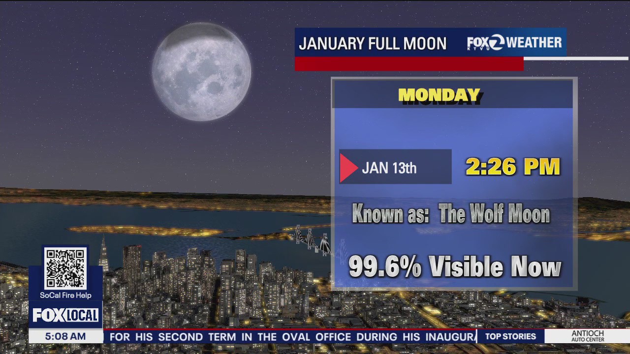

Windy, sunny, 'Wolf Moon'
Today will be sunny and windy. The Wolf Moon will appear at 2:26 p.m.
Today will be sunny and windy. The Wolf Moon will appear at 2:26 p.m.