

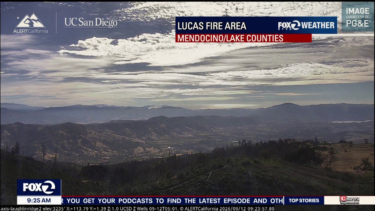
Temperatures are down, wind is up
Following a notable cool down yesterday, the headline today for many will be wind. A strengthening pressure gradient will increase onshore flow Saturday, with widespread gusts of 25 to 35 mph and locally stronger winds possible near the coast, through gaps and over the hills.
Following a notable cool down yesterday, the headline today for many will be wind. A strengthening pressure gradient will increase onshore flow Saturday, with widespread gusts of 25 to 35 mph and locally stronger winds possible near the coast, through gaps and over the hills.
September heat
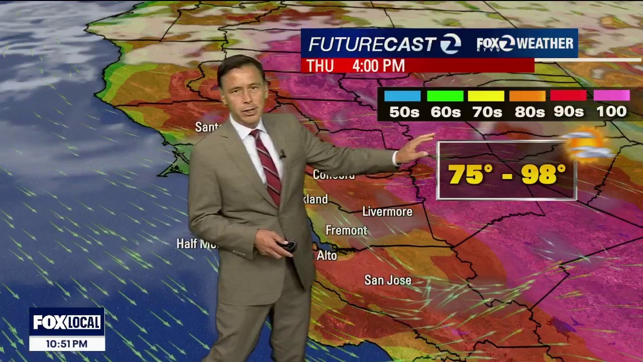
Our heat stretch lasts for one more day. Thursday's highs should range from the low 70s to the upper 90s.
Our heat stretch lasts for one more day. Thursday's highs should range from the low 70s to the upper 90s.

Getty Fire scorches 25 acres near 405 Freeway as mop-up operations continue
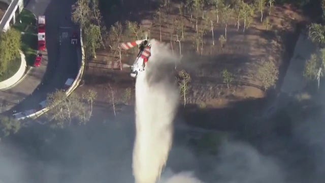
Fire crews in Los Angeles continue mop-up efforts for a 25-acre brush fire along the 405 Freeway that closed the Getty Center and prompted brief evacuation warnings.
Fire crews in Los Angeles continue mop-up efforts for a 25-acre brush fire along the 405 Freeway that closed the Getty Center and prompted brief evacuation warnings.
Steele Fire in Napa County burns 45 acres, prompts evacuation warning
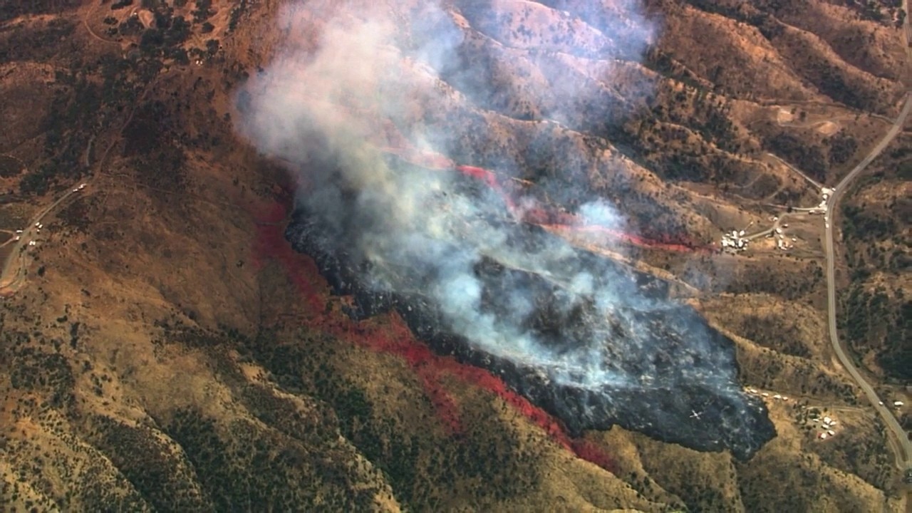
The Steele Fire burning in Napa County Wednesday afternoon has grown to 45 acres, though firefighters were able to stop forward progress, CAL FIRE said. An evacuation warning was issued east of Steele Canyon Road, west of Wragg Canyon Road, and north of Highway 128. It was lifted around 1:30 p.m.
The Steele Fire burning in Napa County Wednesday afternoon has grown to 45 acres, though firefighters were able to stop forward progress, CAL FIRE said. An evacuation warning was issued east of Steele Canyon Road, west of Wragg Canyon Road, and north of Highway 128. It was lifted around 1:30 p.m.

Bay Area weather: Intense heat expected
Today should see temps up to 20 degrees higher than average.
Today should see temps up to 20 degrees higher than average.
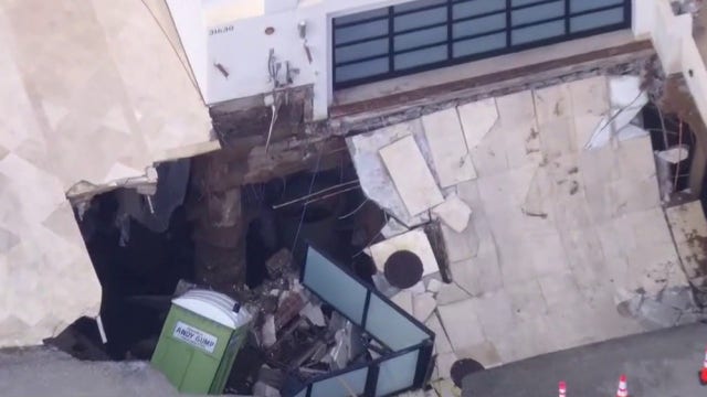

Nicolas Cage’s Malibu home damaged after massive sinkhole swallows driveway
A massive sinkhole formed in the driveway of a Malibu home belonging to actor Nicolas Cage.
A massive sinkhole formed in the driveway of a Malibu home belonging to actor Nicolas Cage.
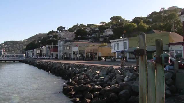

Sausalito poster child on how to handle sea level rise
The city of Sausalito with 7,000 residents can ill afford major structural upgrades to combat rising sea levels.
The city of Sausalito with 7,000 residents can ill afford major structural upgrades to combat rising sea levels.
Heating up again
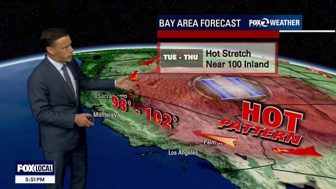
The heat returns this week! You will notice warming in the Tuesday forecast. Highs should range from the mid 70s to the upper 90s. The hottest day of the week will be Wednesday. The warmest inland areas will top 100 degrees. A Heat Advisory has been issued for the entire Bay Area (moderate to major heat risk). Stay safe! -Mark
The heat returns this week! You will notice warming in the Tuesday forecast. Highs should range from the mid 70s to the upper 90s. The hottest day of the week will be Wednesday. The warmest inland areas will top 100 degrees. A Heat Advisory has been issued for the entire Bay Area (moderate to major heat risk). Stay safe! -Mark
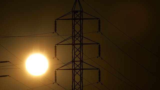

Hot weather returns to Bay Area with inland temps in 90s, 100s: How long will it last?
Hot weather is returning to the Bay Area this week with temperatures expected to reach the 90s and 100s in some areas. Here's what to know.
Hot weather is returning to the Bay Area this week with temperatures expected to reach the 90s and 100s in some areas. Here's what to know.
Warmer Labor Day
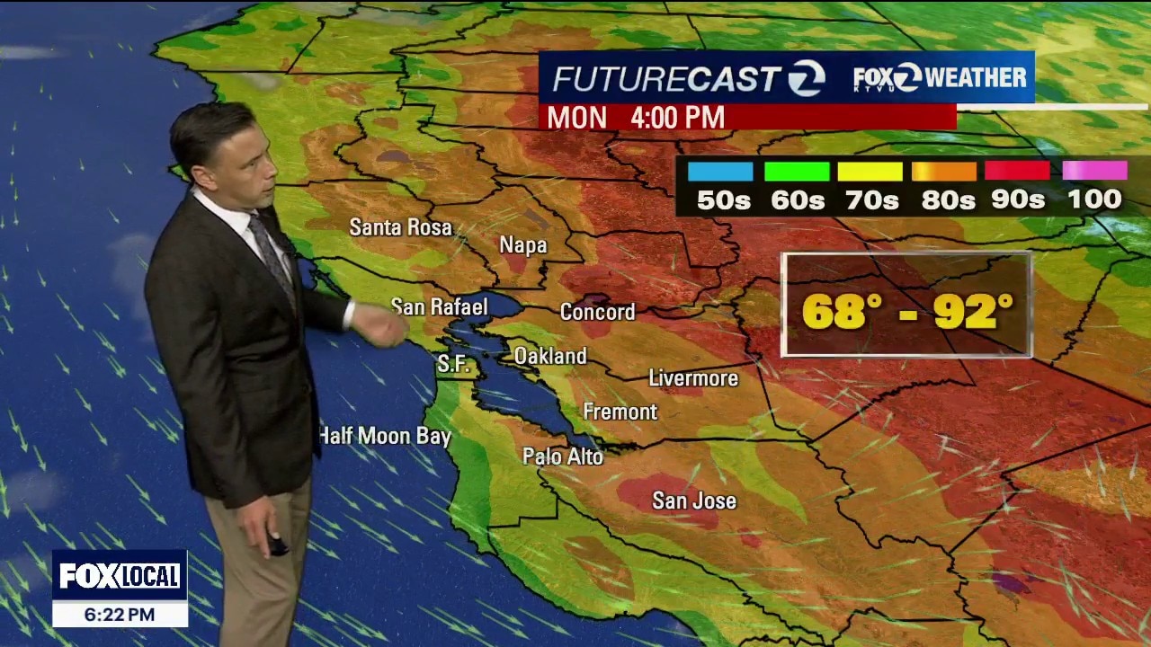
A warmer pattern will top our weather headlines for the upcoming week. Your Labor Day forecast features mostly sunny skies and warm to hot temperatures. Highs should range from the mid 60s to the low 90s. The hottest temperatures move in later in the week. By Wednesday, the warmest neighborhoods could approach 102 degrees. Heat Advisories will likely be issued.
A warmer pattern will top our weather headlines for the upcoming week. Your Labor Day forecast features mostly sunny skies and warm to hot temperatures. Highs should range from the mid 60s to the low 90s. The hottest temperatures move in later in the week. By Wednesday, the warmest neighborhoods could approach 102 degrees. Heat Advisories will likely be issued.

Hawaii bracing for severe weather as Hurricane Lowell set to pass by
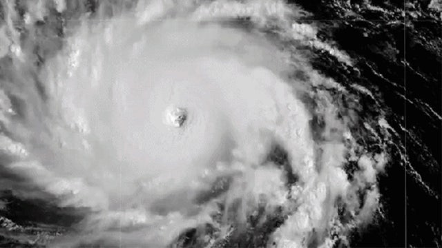
People in Hawaii are bracing for another round of severe weather as Hurricane Lowell spins past the islands. The major Category 3 cyclone could bring heavy rains, flooding, and mudslides, as it cuts a path west of the state, the National Hurricane Center stated while issuing a tropical storm warning for two islands.
People in Hawaii are bracing for another round of severe weather as Hurricane Lowell spins past the islands. The major Category 3 cyclone could bring heavy rains, flooding, and mudslides, as it cuts a path west of the state, the National Hurricane Center stated while issuing a tropical storm warning for two islands.
Category 4 Hurricane Lowell turning toward Hawaii, threatening to slam the islands with heavy rain, high surf
Hurricane Lowell is churning as a Category 4 hurricane about 600 miles south of Kauaʻi, packing maximum sustained winds of 155 mph.
Hurricane Lowell is churning as a Category 4 hurricane about 600 miles south of Kauaʻi, packing maximum sustained winds of 155 mph.
Hazardous beach conditions through the Holiday
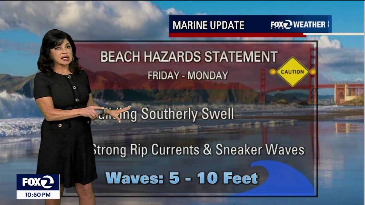
An official Beach Hazards Warning is active through Monday night across all Pacific coastlines [Section: Summary, Section Two massive, long-period southerly ocean swells are converging from distant Hurricane Karina and Hurricane Marie. These long-interval swells will generate crushing breaking waves up to 10 feet alongside vicious rip currents. Deceptive lulls will make the ocean look peaceful before a massive sneaker wave surges dozens of feet up the sand. Clear, blue-sky weekend days are historically the most deadly. Remaining out of the water is not enough...you must stay entirely off the beaches, coastal jetties, and rocks to avoid being swept into the freezing ocean. Tonight's Forecast: Because yesterday's cold front completely mixed out the atmosphere, the marine layer is reforming from scratch tonight. Combined with ample low-level ground moisture and clear skies, expect thick, patchwork pockets of blinding morning fog across the valleys by Saturday sunrise. Lows will drop into the comfortable 50s. (Except Santa Rosa at 48 degrees overnight). Saturday & Sunday Holiday Forecast: The Microclimate Numbers: The Coast: Locked under a reforming marine deck with crisp highs in the low 60s. Bayside Communities: Beautifully autumnal and breezy, hovering in the upper 60s to low 70s. Inland Valleys: Experiencing absolute heat relief, with highs capped in the mid-70s to near 80°F under partly cloudy skies.
An official Beach Hazards Warning is active through Monday night across all Pacific coastlines [Section: Summary, Section Two massive, long-period southerly ocean swells are converging from distant Hurricane Karina and Hurricane Marie. These long-interval swells will generate crushing breaking waves up to 10 feet alongside vicious rip currents. Deceptive lulls will make the ocean look peaceful before a massive sneaker wave surges dozens of feet up the sand. Clear, blue-sky weekend days are historically the most deadly. Remaining out of the water is not enough...you must stay entirely off the beaches, coastal jetties, and rocks to avoid being swept into the freezing ocean. Tonight's Forecast: Because yesterday's cold front completely mixed out the atmosphere, the marine layer is reforming from scratch tonight. Combined with ample low-level ground moisture and clear skies, expect thick, patchwork pockets of blinding morning fog across the valleys by Saturday sunrise. Lows will drop into the comfortable 50s. (Except Santa Rosa at 48 degrees overnight). Saturday & Sunday Holiday Forecast: The Microclimate Numbers: The Coast: Locked under a reforming marine deck with crisp highs in the low 60s. Bayside Communities: Beautifully autumnal and breezy, hovering in the upper 60s to low 70s. Inland Valleys: Experiencing absolute heat relief, with highs capped in the mid-70s to near 80°F under partly cloudy skies.
Rain clouds are moving out
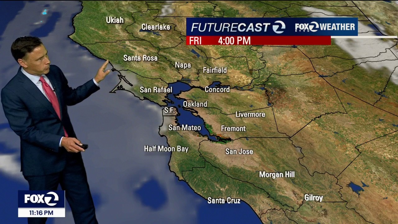
The unusual September weather pattern will soon be fading. Friday morning starts off with some clouds and patchy drizzle. Partly sunny skies are expected later in the day. Highs should range from the mid 60s to the upper 70s. Warmer temperatures are expected by Labor Day. Have a great weekend! -Mark
The unusual September weather pattern will soon be fading. Friday morning starts off with some clouds and patchy drizzle. Partly sunny skies are expected later in the day. Highs should range from the mid 60s to the upper 70s. Warmer temperatures are expected by Labor Day. Have a great weekend! -Mark

Tropical Storm Edouard lashes Texas with disaster declared in parts of state
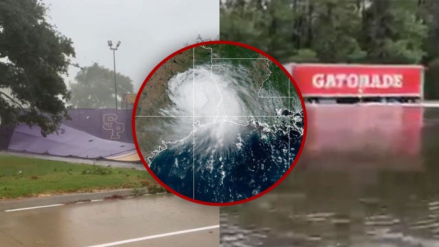
What was once Tropical Storm Edouard has hammered Texas with heavy rain and damaging winds after it made landfall Tuesday.
What was once Tropical Storm Edouard has hammered Texas with heavy rain and damaging winds after it made landfall Tuesday.


Two fires in Big Sur close sections of Highway 1
Authorities have closed Highway 1 in two separate locations: an 11-mile stretch north of Big Sur and a 16-mile stretch to the south. The road closures effectively cut off access from both the Bay Area and Los Angeles.
Authorities have closed Highway 1 in two separate locations: an 11-mile stretch north of Big Sur and a 16-mile stretch to the south. The road closures effectively cut off access from both the Bay Area and Los Angeles.

Wildfire victim compromise bill collapses in California Assembly
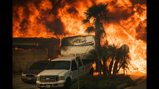
A compromise plan intended to assist California wildfire survivors collapsed in the state Assembly on the final day of the legislative session following intense pushback from major utility companies.
A compromise plan intended to assist California wildfire survivors collapsed in the state Assembly on the final day of the legislative session following intense pushback from major utility companies.
Unsettled Wednesday weather, light rain approaches North Bay
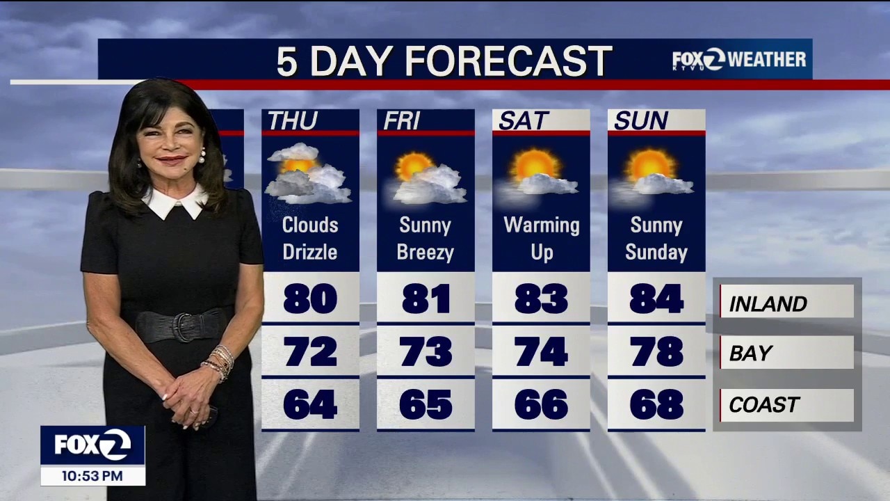
Light rain is currently approaching the North Bay and will arrive by Wednesday morning, while a historic, record-deep 5,200-foot marine layer continues to trap an unseasonably cold, fall-like air mass over Northern California.
Light rain is currently approaching the North Bay and will arrive by Wednesday morning, while a historic, record-deep 5,200-foot marine layer continues to trap an unseasonably cold, fall-like air mass over Northern California.

Tropical Depression Edouard makes landfall as Texas hit with heavy rain, gusty winds
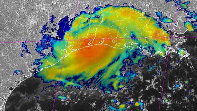
Tropical Storm Edouard has made landfall as it slams Texas with heavy rain and gusty winds Tuesday. According to the National Hurricane Center, Edouard made landfall at 2:20 p.m. CT near Johnson Bayou, Louisiana, with maximum sustained winds of 60 mph and gusts up to 71 mph.
Tropical Storm Edouard has made landfall as it slams Texas with heavy rain and gusty winds Tuesday. According to the National Hurricane Center, Edouard made landfall at 2:20 p.m. CT near Johnson Bayou, Louisiana, with maximum sustained winds of 60 mph and gusts up to 71 mph.
Cooler pattern
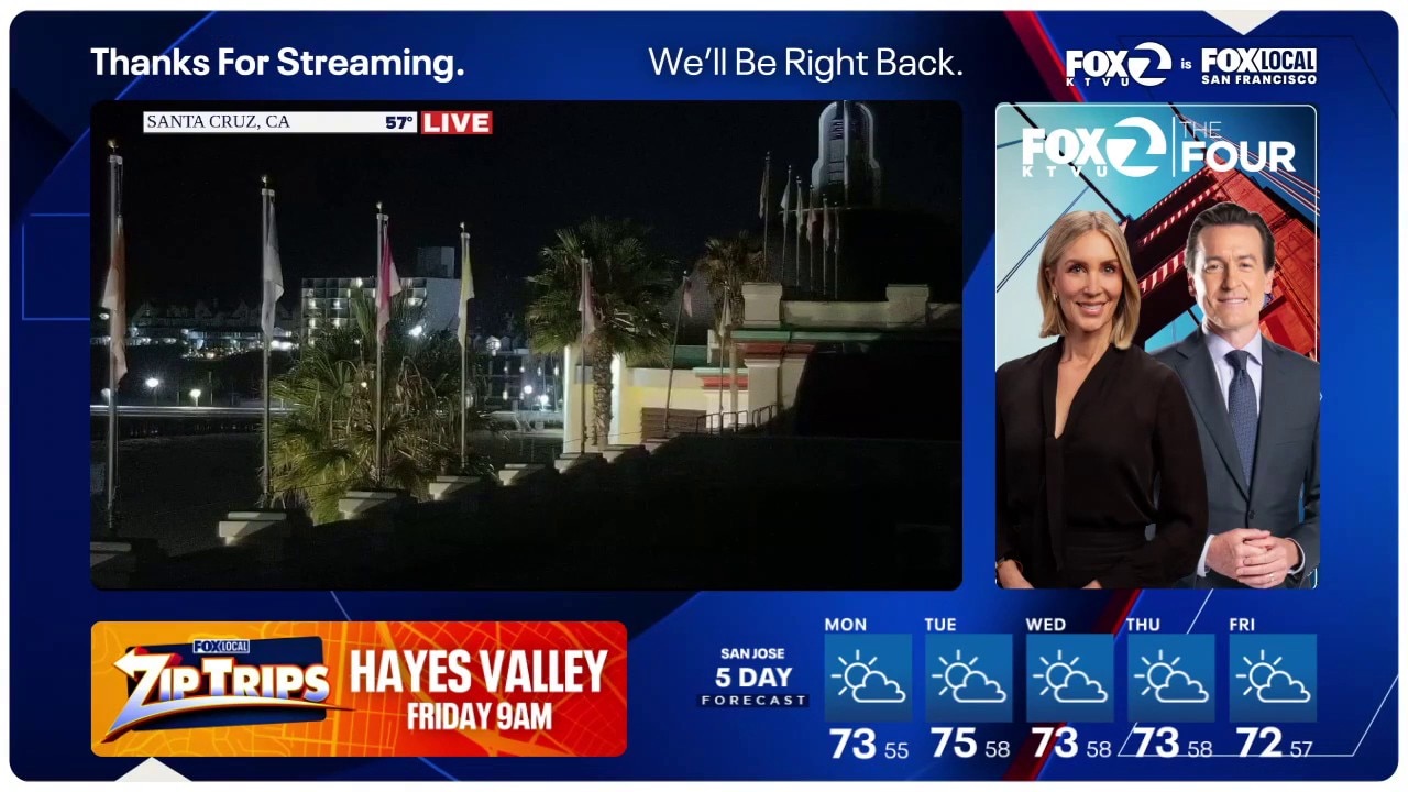
September starts off with a cooler than average weather pattern. Low clouds are expected during the morning hours. A few areas could also pick up drizzle. Highs should range from the low 60s to the mid 70s.
September starts off with a cooler than average weather pattern. Low clouds are expected during the morning hours. A few areas could also pick up drizzle. Highs should range from the low 60s to the mid 70s.