

Aquatic drones built in Alameda heading to El Niño region ahead of winter forecasts
Aquatic drones built in Alameda heading to El Niño region ahead of winter forecasts
Saildrone is launching a new fleet of uncrewed surface vehicles from Hawaii to study a developing El Niño event in the equatorial Pacific.
ALAMEDA, Calif. - Ocean researchers are turning to cutting-edge technology to study a developing El Niño pattern that could potentially rival the four strongest events on record.
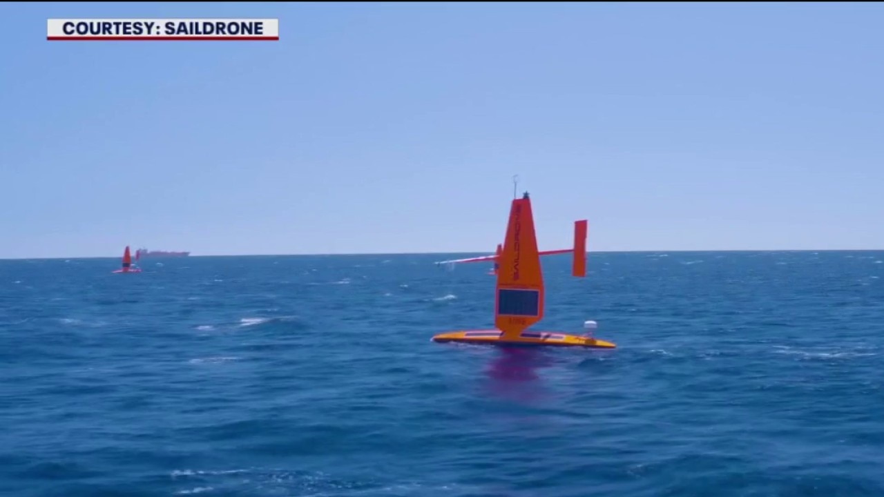
Saildrone, a company headquartered at the former Naval Air Station in Alameda, builds futuristic aquatic drones inside a historic hangar. Powered by the sun and driven by the wind, these uncrewed surface vehicles are designed to travel vast distances across open ocean waters. Their missions range from mapping the seafloor to intersecting hurricanes, providing researchers with a deeper understanding of offshore conditions.
Aquatic drones built in Alameda sent to El Niño region
What we know:
Now, for the eighth consecutive year, a new fleet of vehicles is venturing to the El Niño region to gather vital measurements for research teams.
"Having an unprecedented El Niño is more than just a headline for us," said Cristina Castillo, a senior program manager at Saildrone. "It is literally an unprecedented opportunity to collect data that has never been collected before."
The 23-foot-long vehicles feature 16-foot wings and are outfitted with 15 sensors. Some of these sensors are capable of collecting 20 data points every single second.
Saildrone collaborates closely with scientists from the National Oceanic and Atmospheric Administration to plan each deployment route.
"Sometimes they might want us to look at an interesting front or some interesting anomaly, so we are able to dynamically update where the drones go," Castillo said.
Drone deployment
Timeline:
Following preparation over the summer in Alameda, the marine drones were transported to Oahu. The fleet launches from Hawaiian waters this month and will begin navigating toward the equator, with operations piloted remotely from around the world.
Meghan Cronin, an oceanographer with the Pacific Marine Environmental Laboratory in Seattle, will be tracking the developments captured by the drones from thousands of miles away.
"It is really a useful platform for looking at these developing events like this El Niño," Cronin said.
The primary goal of the mission is to gather a massive dataset that can ultimately enhance the skill of predictive weather models. Researchers want to use the high-speed measurements to better understand the exchange of heat and moisture between the ocean and the atmosphere, specifically how warm water sheds heat to trigger deep convective cloud formations.
Measuring water temperature across vast stretches of the ocean presents a significant challenge, making the automated drones an essential tool for answering complex atmospheric questions.
During the four-month mission, the Saildrones will cover more than 3,000 miles across the equatorial Pacific before wrapping up their journey in December.
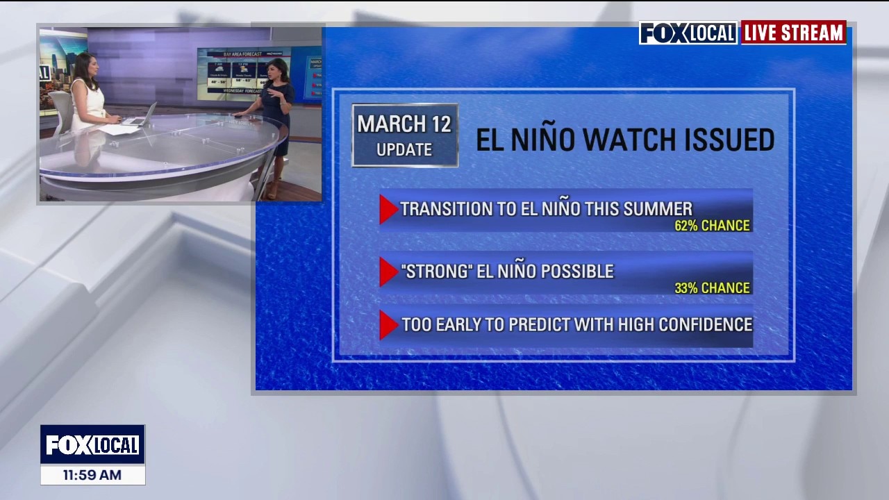
What is a 'Godzilla' El Nino?
Meteorologist Roberta Gonzalez explains what a "Godzilla" El Nino is. It's still too early to tell if there will be one.
The Source: Interviews with Cristina Castillo, a senior program manager at Saildrone, and Meghan Cronin, an oceanographer with the Pacific Marine Environmental Laboratory.