

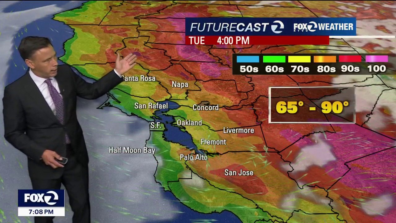
A break from the heat
Low clouds will resurface near the coast and bay Tuesday morning. Partly to mostly sunny skies will highlight the afternoon forecast. We get a break from the heat! Highs should range from the mid 60s to the upper 80s. Monsoonal moisture could drift in the from the south by midweek. The slight chance of showers has been added to the Wednesday forecast (highest chance along the Central Coast).
Low clouds will resurface near the coast and bay Tuesday morning. Partly to mostly sunny skies will highlight the afternoon forecast. We get a break from the heat! Highs should range from the mid 60s to the upper 80s. Monsoonal moisture could drift in the from the south by midweek. The slight chance of showers has been added to the Wednesday forecast (highest chance along the Central Coast).


NOAA says July was warmest month in US history, surpassing 1936 Dust Bowl heat
July was the hottest month on record, according to the NOAA.
July was the hottest month on record, according to the NOAA.
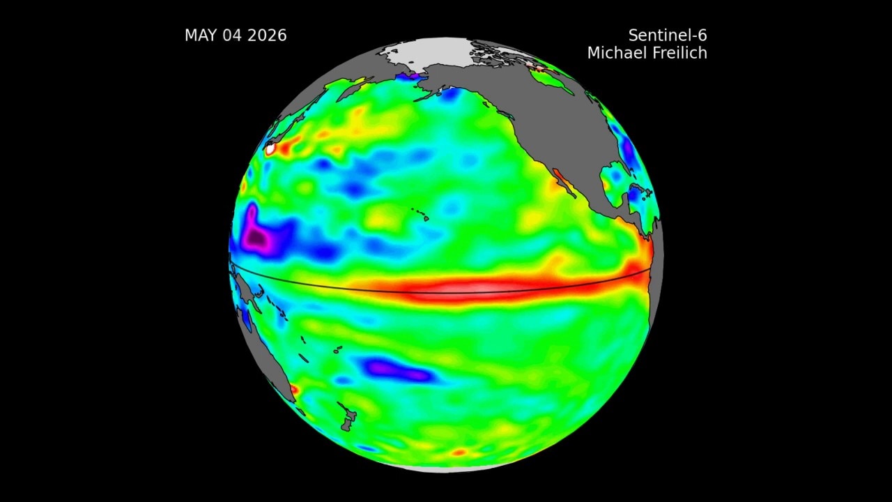
Changing weather conditions in Tropical Pacific as El Niño emerges
This is animation showing the changing conditions in Tropical Pacific this year, La Niña fading and El Niño emerging.
This is animation showing the changing conditions in Tropical Pacific this year, La Niña fading and El Niño emerging.
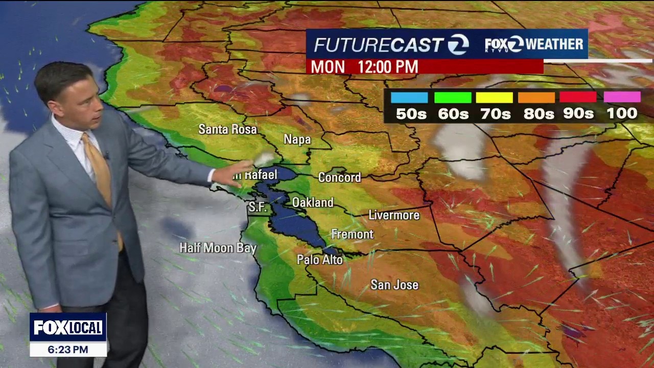
Cooler Monday
The headline for your Monday forecast is centered on cooler temperatures. Patchy fog will return to the coast and bay during the morning. hours. Highs should range from the mid 60s to the low 90s. The cooler pattern remains in place for most of the week.
The headline for your Monday forecast is centered on cooler temperatures. Patchy fog will return to the coast and bay during the morning. hours. Highs should range from the mid 60s to the low 90s. The cooler pattern remains in place for most of the week.
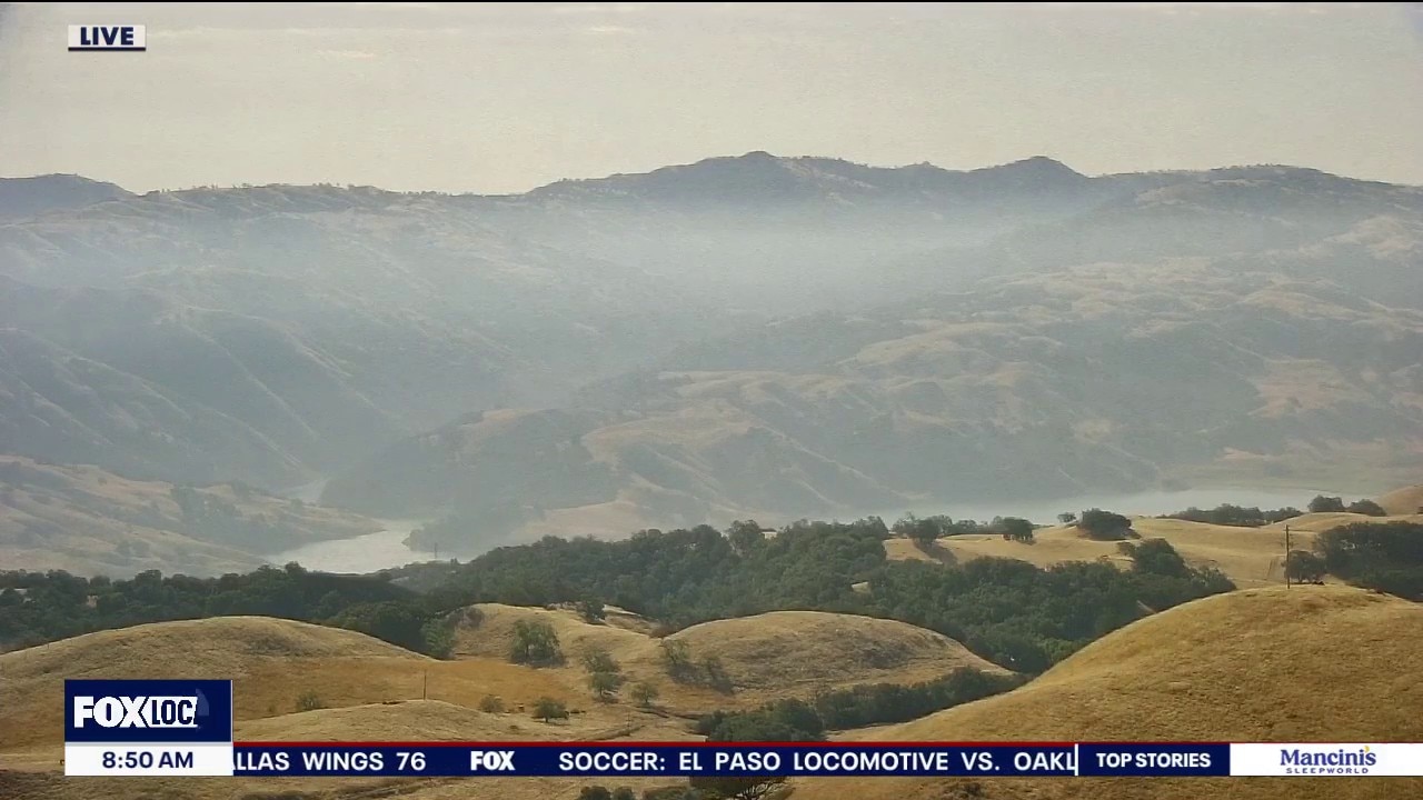
The heat peaks today
Happy Sunday everyone! The mostly cloudy start coast and bay will clear to partly cloudy skies for the afternoon with temperatures ranging from upper 60s at the coast to low 100s inland. A Heat Advisory continues for inter mountain North Bay, East Bay Valleys/Hills, Santa Clara Valley/Hills, and Santa Cruz Mountains. A Coastal Flood Advisory remains for low lying areas adjacent to our bays with High Tide at 9:03pm. The heat begins to ease on Monday.
Happy Sunday everyone! The mostly cloudy start coast and bay will clear to partly cloudy skies for the afternoon with temperatures ranging from upper 60s at the coast to low 100s inland. A Heat Advisory continues for inter mountain North Bay, East Bay Valleys/Hills, Santa Clara Valley/Hills, and Santa Cruz Mountains. A Coastal Flood Advisory remains for low lying areas adjacent to our bays with High Tide at 9:03pm. The heat begins to ease on Monday.
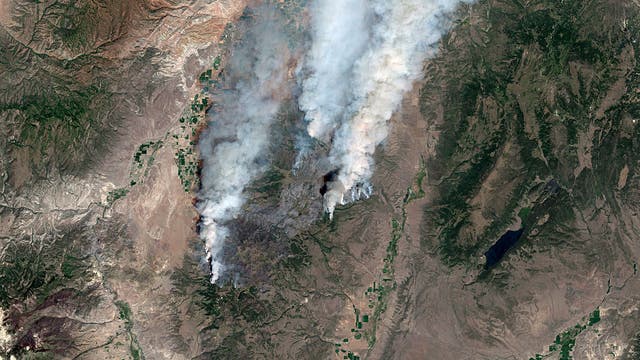

Two helicopter pilots killed in crash while battling Utah wildfire
Two helicopter pilots were killed when their Sikorsky Skycrane crashed while battling a wildfire in Utah’s Fishlake National Forest, officials confirmed Saturday.
Two helicopter pilots were killed when their Sikorsky Skycrane crashed while battling a wildfire in Utah’s Fishlake National Forest, officials confirmed Saturday.
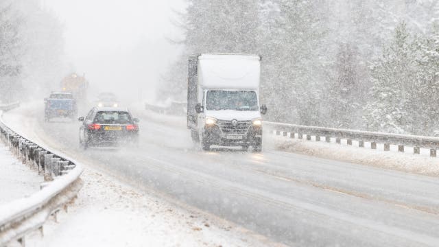

Farmers Almanac winter forecast: What a strong El Niño means for your region
The Farmers Almanac’s winter forecast predicts a strong El Niño influence.
The Farmers Almanac’s winter forecast predicts a strong El Niño influence.
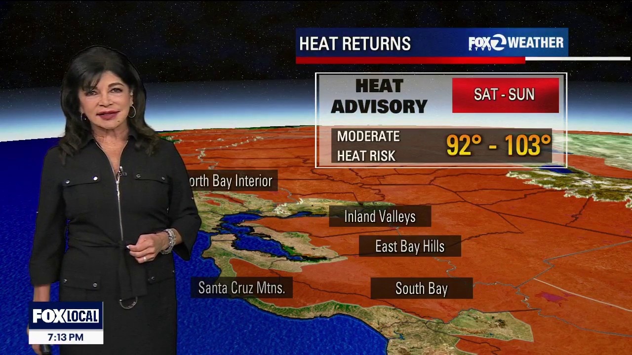
Heat Advisory and Coastal Flood Advisory at the same time this weekend
Saturday Forecast • Heat Advisory: Starting at 10:00 AM. • Daytime Temperatures: Inland valleys will spike into the mid-90s to low 100s, with far interior hotspots like Cloverdale climbing past 100°F. Bayside communities will remain comfortable in the mid-70s to low 80s, while the immediate Pacific coast stays crisp in the 60s to low 70s.. • Marine Layer: Heavy morning coastal fog will retreat rapidly to the immediate beaches by mid-to-late morning, leaving inland areas entirely clear and sunny and hot! • Coastal Flooding: No daytime impacts. High tides remain low during daylight hours. Next King Tide is Saturday night at 8pm of 7.25 (1.6 ft above inundation). Saturday Night Forecast • Heat Advisory: Continues overnight.. • Nighttime Temps: Extreme microclimate splits. Valley floors and coastal zones will drop into the comfort zone. However, higher elevations, warm mid-60s to 70s. • Marine Layer: Fog and drizzle expands inland late, primarily hugging the coast, then slipping into low-lying gaps.
Saturday Forecast • Heat Advisory: Starting at 10:00 AM. • Daytime Temperatures: Inland valleys will spike into the mid-90s to low 100s, with far interior hotspots like Cloverdale climbing past 100°F. Bayside communities will remain comfortable in the mid-70s to low 80s, while the immediate Pacific coast stays crisp in the 60s to low 70s.. • Marine Layer: Heavy morning coastal fog will retreat rapidly to the immediate beaches by mid-to-late morning, leaving inland areas entirely clear and sunny and hot! • Coastal Flooding: No daytime impacts. High tides remain low during daylight hours. Next King Tide is Saturday night at 8pm of 7.25 (1.6 ft above inundation). Saturday Night Forecast • Heat Advisory: Continues overnight.. • Nighttime Temps: Extreme microclimate splits. Valley floors and coastal zones will drop into the comfort zone. However, higher elevations, warm mid-60s to 70s. • Marine Layer: Fog and drizzle expands inland late, primarily hugging the coast, then slipping into low-lying gaps.
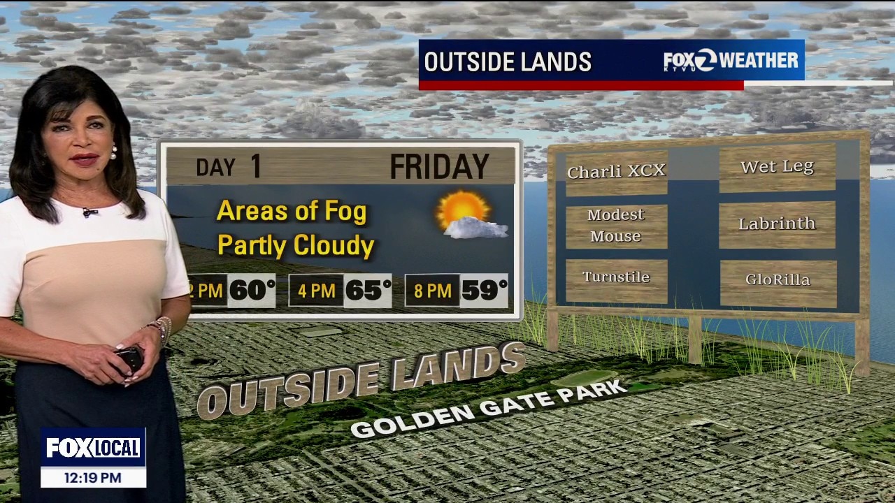
Heat Advisory for the weekend
Today: The immediate coast remains heavily air-conditioned under a compressed fog deck, while inland areas with a brief temperature relief into the 90s. Tonight: Inland valley drops comfortably into the 50s.Few 60s. Friday: Morning low clouds clears out rapidly by late morning. Inland valleys will see a noticeable 2 to 4-degree temperature bump, pushing hot spots to near 100. Moderate to Major Heat Risk expanding into the region right before the weekend advisory starts. A Heat Advisory in effect from 10:00 AM Saturday to 10:00 PM Sunday due to widespread Moderate Heat Risk for inland areas of The Santa Clara Valley and Eastern Hills and Valleys, Western Sonoma County Hills, Santa Cruz Mountains, Interior Monterey County and the Santa Lucia Range, most of San Benito County and the Cholame Hills in Southeast Monterey.
Today: The immediate coast remains heavily air-conditioned under a compressed fog deck, while inland areas with a brief temperature relief into the 90s. Tonight: Inland valley drops comfortably into the 50s.Few 60s. Friday: Morning low clouds clears out rapidly by late morning. Inland valleys will see a noticeable 2 to 4-degree temperature bump, pushing hot spots to near 100. Moderate to Major Heat Risk expanding into the region right before the weekend advisory starts. A Heat Advisory in effect from 10:00 AM Saturday to 10:00 PM Sunday due to widespread Moderate Heat Risk for inland areas of The Santa Clara Valley and Eastern Hills and Valleys, Western Sonoma County Hills, Santa Cruz Mountains, Interior Monterey County and the Santa Lucia Range, most of San Benito County and the Cholame Hills in Southeast Monterey.
Warming up again
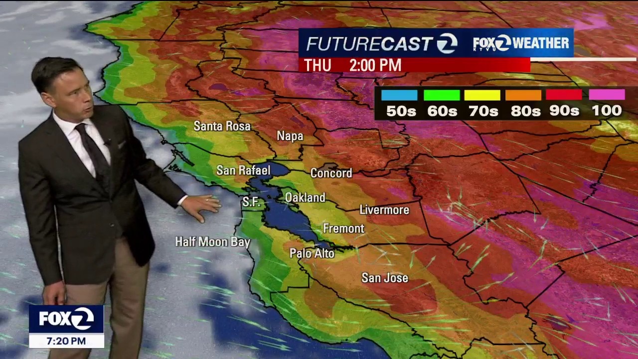
No big changes in the Thursday forecast. Fog will resurface near the coast and bay during the morning. The clouds will clear back to near the shoreline later in the day. Highs should range from the mid 60s to the low 90s. Wildfire smoke, in the Pacific Northwest, could create a bit of haze in our skies. An Air Quality Advisory remains in place through Thursday. Temperatures will be warming up beginning Friday. By the weekend, the warmest inland areas could hit 103 degrees. Heat Advisories might be issued.
No big changes in the Thursday forecast. Fog will resurface near the coast and bay during the morning. The clouds will clear back to near the shoreline later in the day. Highs should range from the mid 60s to the low 90s. Wildfire smoke, in the Pacific Northwest, could create a bit of haze in our skies. An Air Quality Advisory remains in place through Thursday. Temperatures will be warming up beginning Friday. By the weekend, the warmest inland areas could hit 103 degrees. Heat Advisories might be issued.

Rising temperatures could keep more flights from taking off on time
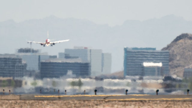
Air travelers brace for delays during severe storms, but extreme summer heat can trigger hidden disruptions that are far less visible and harder to predict.
Air travelers brace for delays during severe storms, but extreme summer heat can trigger hidden disruptions that are far less visible and harder to predict.
The great Bay Area temperature divide
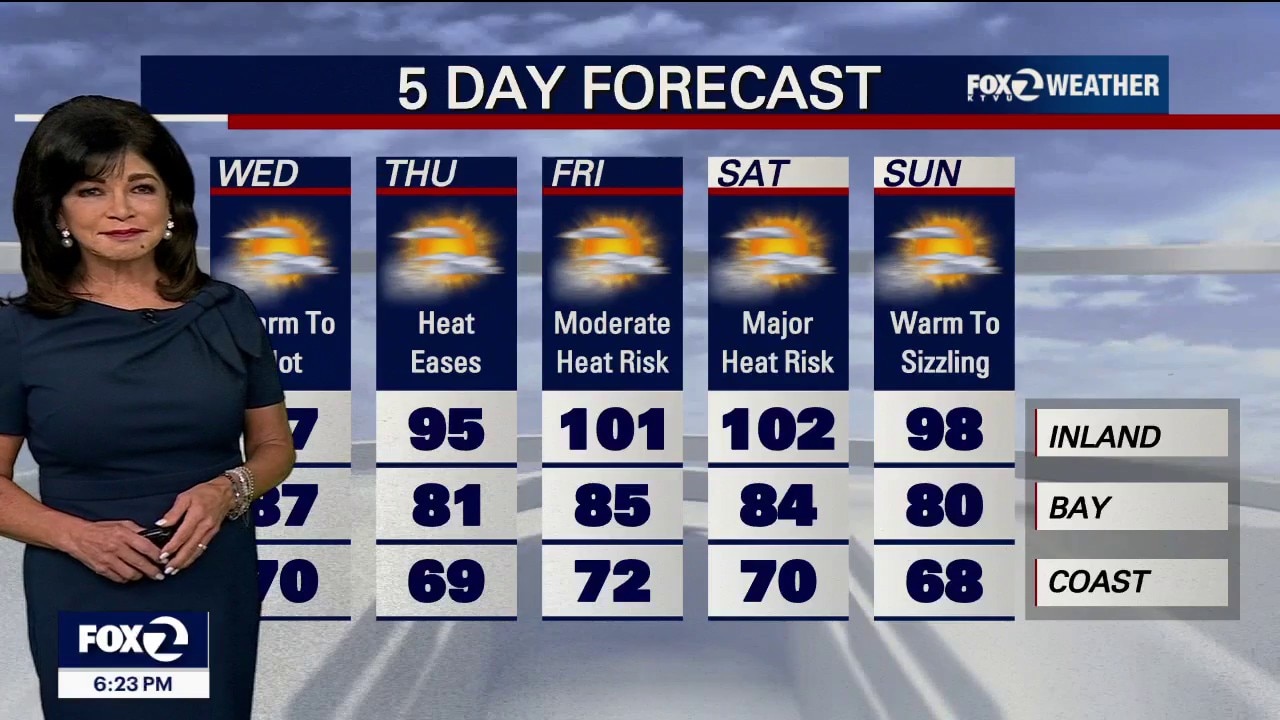
Wednesday: Widespread onshore sea breezes will keep the immediate Pacific Coast cool to pleasant in the low 60s to near 70°F Bayside (like Oakland and Downtown SF) in the mid-70s to low 80s, while the inland valleys drop back to an average of 92°F to 97°F.
Wednesday: Widespread onshore sea breezes will keep the immediate Pacific Coast cool to pleasant in the low 60s to near 70°F Bayside (like Oakland and Downtown SF) in the mid-70s to low 80s, while the inland valleys drop back to an average of 92°F to 97°F.


Preliminary 4.2-magnitude earthquake reported in Mendocino County
A preliminary 4.2-magnitude earthquake was reported in Mendocino County, California.
A preliminary 4.2-magnitude earthquake was reported in Mendocino County, California.

Man arrested for arson in Spokane, WA Old Trails Fire
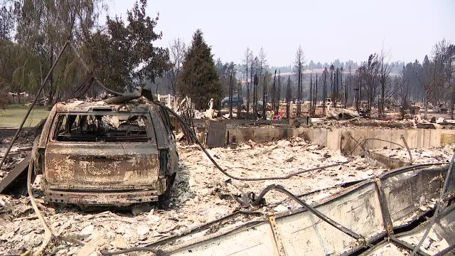
A 37-year-old man was arrested on suspicion of first-degree arson for allegedly starting the Old Trails Fire, one of three wildfires in Spokane County burning thousands of acres.
A 37-year-old man was arrested on suspicion of first-degree arson for allegedly starting the Old Trails Fire, one of three wildfires in Spokane County burning thousands of acres.
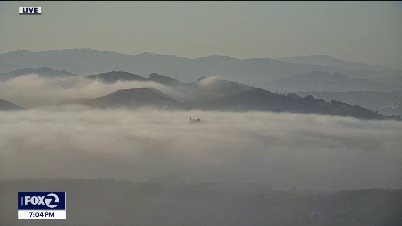
A subtle drop in temperatures on the way
Coastal clouds will kick off the day along the coast and inside the bay with temperatures ranging from mid 50s to mid 60s. Clouds will retreat to the coast with partly sunny skies near the shore and mostly sunny elsewhere. Afternoon highs will range from upper 60s at the coast to upper 90s inland with dry conditions.
Coastal clouds will kick off the day along the coast and inside the bay with temperatures ranging from mid 50s to mid 60s. Clouds will retreat to the coast with partly sunny skies near the shore and mostly sunny elsewhere. Afternoon highs will range from upper 60s at the coast to upper 90s inland with dry conditions.
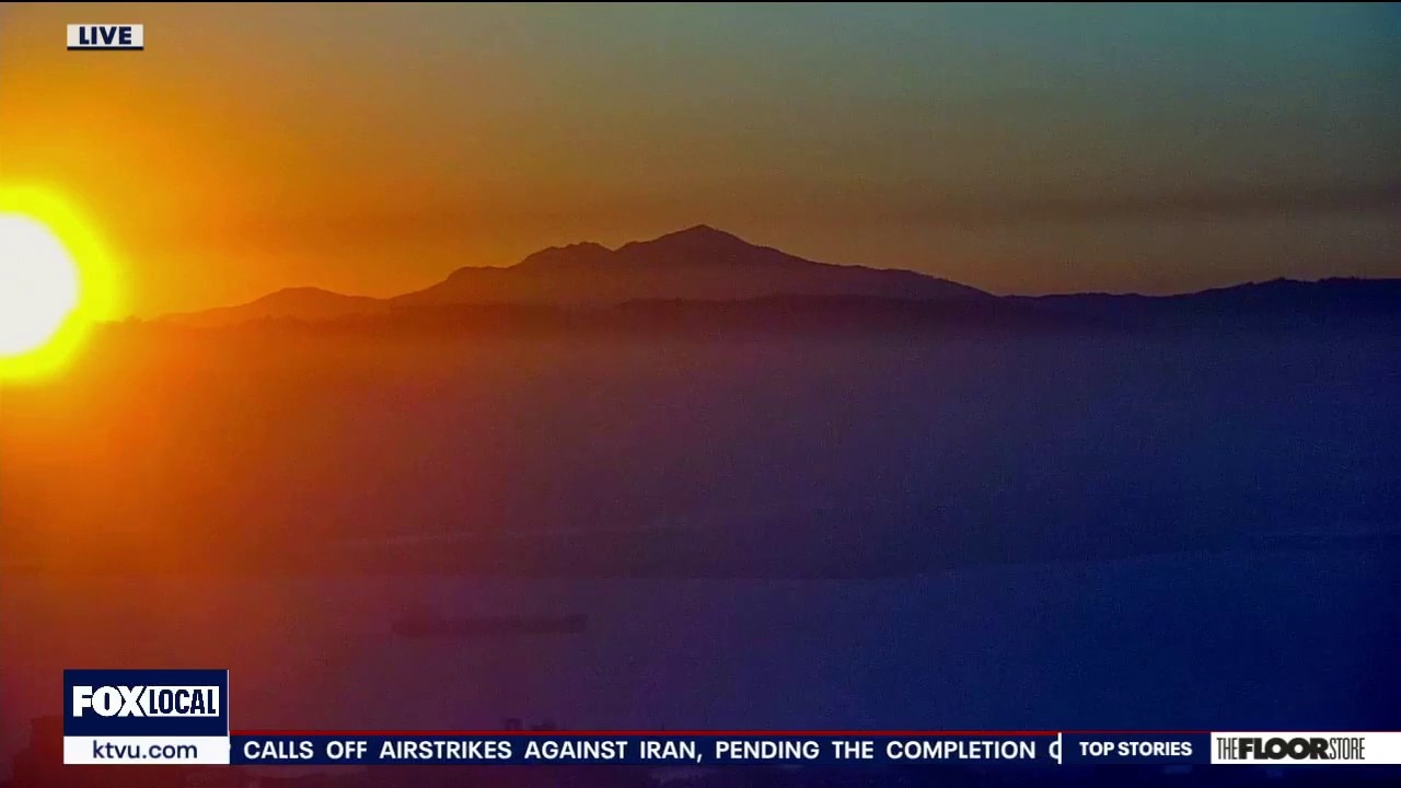
Hottest day of the week
Monday could be the hottest day of the week. Inland areas could reach triple digits.
Monday could be the hottest day of the week. Inland areas could reach triple digits.


Bay Area weather: Temps to skyrocket in inland areas
Temperatures are expected to skyrocket toward the triple digits in inland areas on Monday as summer heat grips the region, bringing an active heat advisory.
Temperatures are expected to skyrocket toward the triple digits in inland areas on Monday as summer heat grips the region, bringing an active heat advisory.
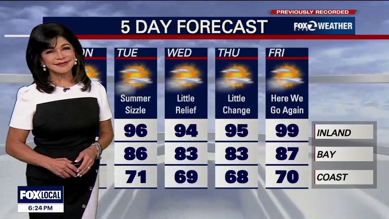
Triple digits for the third day in a row
Fire Weather Alert: A sharp upper-level storm trough is tracking into the northern Rockies tonight. This system will flip our wind patterns, driving dry, offshore wind gusts of 15 to 20 mph over local peaks. Offshore winds are active tonight through Monday morning. Near-critical fire conditions will spike across the interior North Bay, East Bay, Diablo Range and Santa Lucia Range. Monday: Inland valleys into the 90s to triple digits. Far North Bay, eastern Contra Costa County. San Benito County and southern Monterey County will bake at 105°F to 107°F. Highs along the coast will stay highly comfortable in the mid-60s to lower 70s, with bay shore in the mid-70s to mid-80s. Marine Gale Warnings Active Tonight. Wxpect widespread gale-force wind gusts across the coastal waters north of Point Reyes. The strongest gales will not migrate inland. Inland Gaps: Afternoon and evening sea breezes of 20 to 25 mph through the San Bruno Gap, Altamont Pass and Salinas Valley.
Fire Weather Alert: A sharp upper-level storm trough is tracking into the northern Rockies tonight. This system will flip our wind patterns, driving dry, offshore wind gusts of 15 to 20 mph over local peaks. Offshore winds are active tonight through Monday morning. Near-critical fire conditions will spike across the interior North Bay, East Bay, Diablo Range and Santa Lucia Range. Monday: Inland valleys into the 90s to triple digits. Far North Bay, eastern Contra Costa County. San Benito County and southern Monterey County will bake at 105°F to 107°F. Highs along the coast will stay highly comfortable in the mid-60s to lower 70s, with bay shore in the mid-70s to mid-80s. Marine Gale Warnings Active Tonight. Wxpect widespread gale-force wind gusts across the coastal waters north of Point Reyes. The strongest gales will not migrate inland. Inland Gaps: Afternoon and evening sea breezes of 20 to 25 mph through the San Bruno Gap, Altamont Pass and Salinas Valley.
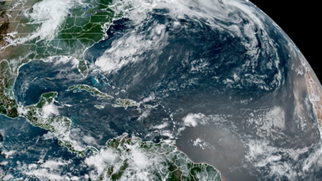

El Niño continues to strengthen toward record territory two months into the Atlantic hurricane season
Multiple tropical waves are currently moving off the African coast into the Main Development Region of the Atlantic, but hostile winds, Saharan dust and ocean temperatures will determine whether any development actually happens.
Multiple tropical waves are currently moving off the African coast into the Main Development Region of the Atlantic, but hostile winds, Saharan dust and ocean temperatures will determine whether any development actually happens.
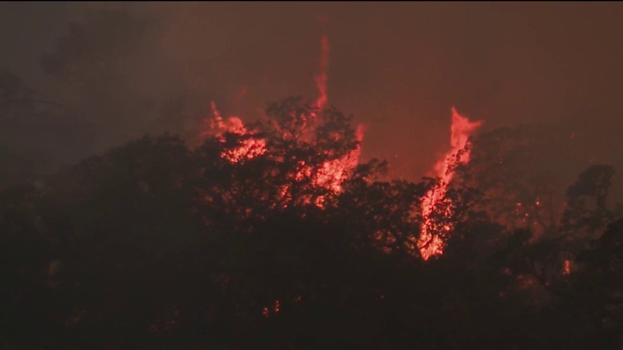
Feliz Fire forward progress stopped, containment reaches 10%
No injuries or structure damages were reported in the blaze.
No injuries or structure damages were reported in the blaze.