

Bay Area rain: what to expect in stormy days ahead
Parade of storms pound Bay Area
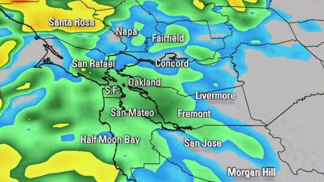
A series of storms hitting the Bay Area is resulting in excessive rainfall and wind warnings. Roadway flooding, rises in streams and creeks and shallow landslides may be expected, according to forecasts.
OAKLAND, Calif. - The Bay Area has several days of wet weather ahead of it.
Rain began hitting the Bay Area on Friday and will continue with scattered showers on Saturday before the most intense precipitation falls on Sunday night into Monday.
Scattered showers and drizzle were seen in the North Bay and along the coast on Friday afternoon and will become heavier this evening. The East and South Bay will not see as much rain, but should expect scattered showers this evening.
Scattered showers Friday is start to wet weekend
There will be scattered showers on Friday and Saturday before an intense storm reaches the Bay Area on Sunday night that lasts into Monday morning during rush hour.
Saturday will be cloudy with scattered showers during the San Francisco 49ers playoff game at home against the Green Bay Packers. (Watch that game on KTVU FOX 2)
The strongest period of rainfall will be from Sunday night into Monday morning's rush hour. The storm will produce enough rain to potentially flood roadways and cause a sharp rise in streams and creeks. There will also be wind strong enough to knock down trees. The North Bay and Santa Cruz mountains will get hit the hardest.
That will be followed by another chance of showers on Tuesday evening.
The temperatures will be warm in the Bay Area, but around Lake Tahoe, there is a winter weather watch starting Friday night through early Tuesday. Eight to 16 inches of snow may accumulate in areas between 6,000 and 7,000 feet of elevation. One to three feet of snow may fall at higher elevations.
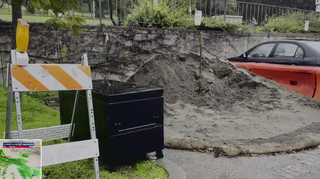
In Marin County, sandbag stations are available around the county for properties prone to flooding. Marin County is not reporting any major storm damage, but there is potential for flooding in low-lying or coastal areas.
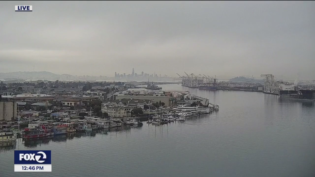
Rain rolls through Bay Area
The rain is making its way through the North Bay on Friday. KTVUs Crystal Bailey reports from San Rafael where its been gloomy and wet all afternoon.