

Bay Area vulnerable to extreme winter flooding, UC Davis report warns
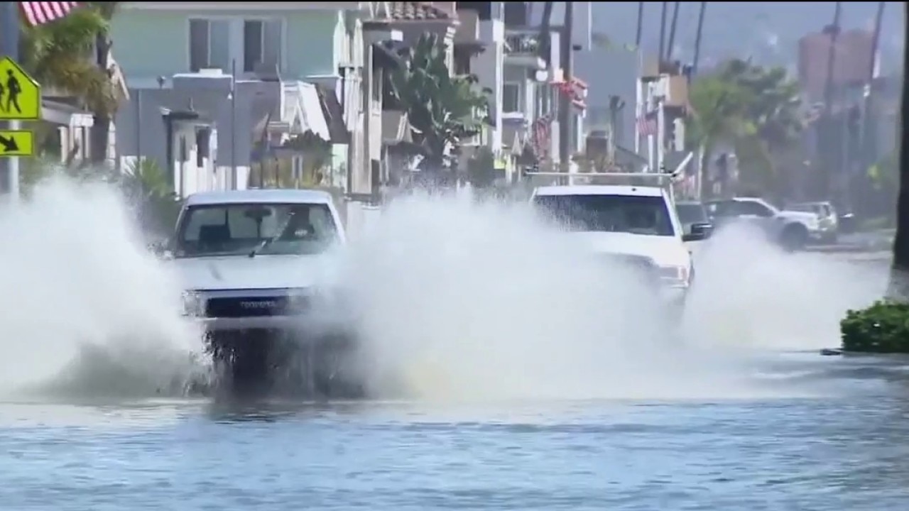
UC Davis study identifies Bay Area flood risk
A new study from UC Davis shows that many Bay Area regions would be impacted by the combination of a Kelvin wave, El Nino and King Tides all potentially coming together this winter.
SAN JOSE, Calif. - A new study from UC Davis indicates that several low-lying areas across California and the Bay Area could experience severe winter flooding due to a rare convergence of meteorological events.
The report highlights how the combined effects of upcoming King Tides, a strong El Niño pattern, and an invisible sea-level rise known as a "Kelvin Wave" could push high tides and sea levels to unprecedented heights.
UC Davis flood report details Bay Area risks
Local perspective:
When the remnants of Tropical Storm Rachel struck Southern California earlier this month, coastal communities in Newport Beach, Huntington Beach, and Long Beach suffered heavy damage. Waves exceeded 17 feet, damaging or destroying dozens of homes.
Dr. Fraser Shilling, director of the UC Davis Road Ecology Center and lead author of the report, utilized GIS mapping and flood prediction data to assess Northern California's vulnerability. "We have places that have never flooded in this way before, but the fact that they flood gives us an idea of what might be coming up the coast," Shilling said.
According to the report's datasets, high-risk areas in the Bay Area include shoreline neighborhoods around Alviso in North San Jose—which previously suffered catastrophic flooding in 1983—along with low-lying areas in San Mateo and Alameda counties.
The runways and surrounding roadways at San Francisco International Airport, including Highway 101, remain vulnerable. However, recent levee improvements around the Oakland San Francisco Bay Airport have reduced its catastrophic risk level, though the eastern approach to the San Francisco-Oakland Bay Bridge remains susceptible to extreme events.
Meteorological factors driving elevated Bay Area sea levels
Big picture view:
The heightened danger stems from an underlying surge in ocean levels. A Kelvin Wave, described as an invisible sea-level rise triggered by warmer waters associated with El Niño, is already elevating base sea levels.
KTVU Meteorologist Roberta Gonzales explained that a Kelvin Wave functions like an oceanic pulse originating thousands of miles away near the equator before moving up the coast to California. Gonzales noted that while recent King Tides raised local water levels by a full foot, the addition of a Kelvin Wave can push water levels an extra foot and a half to two feet higher, greatly intensifying flood risks when storms hit.
Featured
Transition into El Nino could lead to record heat around globe
The World Meteorological Organization reports fishermen first used the term El Niño off the coast of South America to describe the unusually warm water temperatures before Christmas.
Experts emphasize that quick fixes are not viable options as winter approaches. "For a lot of these types of impacts, there’s not a lot you can do a month out or two weeks out," Shilling said. "You are really looking at years of action to make a shoreline more resilient. This is not something that is easy to engineer your way out of."
Beyond the core Bay Area shoreline, the report warns that coastal locations such as Santa Cruz Harbor and Moss Landing in Monterey County are also high on the danger list for potential winter flood impacts.