

Weather system triggers Sierra storms
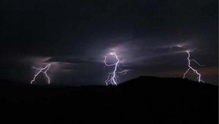
RENO, Nev. (KTVU and wires) – A low pressure system spinning off the Pacific coast Wednesday triggered heavy downpours, hail, lightning and thunderstorms from rural Mendocino County to the Nevada border.
The National Weather Service issued flash flood warnings or watches for counties across Northern California and in the Sierra.
Forecasters warned of intense downpours and sudden hailstorms as the cold unstable air funneled over the region.
In east central Plumas County, the National Weather Service reported more than two inches of rain had fallen just east of Cresent Mills and warned of the threat of flooding in Twain, Greenville, East Quincy and Cresent Mills.
Golf-ball sized hail and damaging winds were reported 11 miles west of Crescent Valley in north central Nevada.
Forecasters said 2 inches of small hail was reported to have accumulated along Highway 89 north of Truckee.
Meanwhile, possible flooding was reported at the Sonora Pass, in Twin Lakes, Bridgeport and Markleeville.
The stormy weather was expected to last through Thursday with a chance of showers in the Bay Area.