

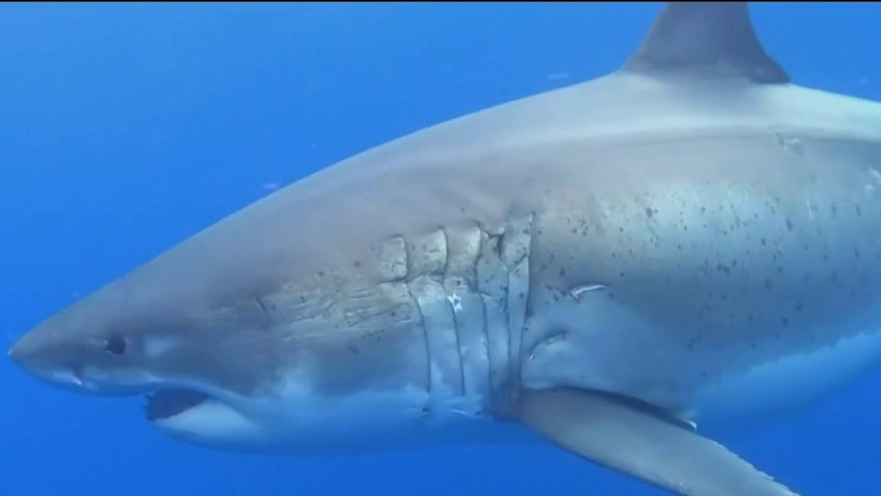
How to stay safe during El Niño as sharks migrate closer to California coast
Shark expert Chris Lowe, a professor of marine biology and director of the Shark Lab at Cal State, Long Beach, explains how to stay safe as sharks migrate toward the California coast during El Niño.
Shark expert Chris Lowe, a professor of marine biology and director of the Shark Lab at Cal State, Long Beach, explains how to stay safe as sharks migrate toward the California coast during El Niño.
Fun in the sun, but there is a catch
Warming Trend: Highs rise Thursday into the weekend, reaching 80s - 90s inland, up to 100°F+ in hot spots well into the Interior Valleys, and 60s - 70s at the coast. Hottest days will be Saturday, Monday and Tuesday. Once temps soar, it will remain above average for 15 days! Beach Hazards Statement: In effect through Friday 5PM. A long-period southwest swell creates a high risk of dangerous sneaker waves and strong rip currents. Stay off rocks and jetties and never turn your back on the ocean. Coastal Flood Advisory: Up to 1.7 feet of minor tidal inundation is possible in low-lying shoreline areas. Advisoryis in effect from tomorrow (Thursday for 1 full week!) Storm & Fire Risk: Monsoonal moisture brings a chance of dry thunderstorms and elevated fire danger Sunday through early next week.
Warming Trend: Highs rise Thursday into the weekend, reaching 80s - 90s inland, up to 100°F+ in hot spots well into the Interior Valleys, and 60s - 70s at the coast. Hottest days will be Saturday, Monday and Tuesday. Once temps soar, it will remain above average for 15 days! Beach Hazards Statement: In effect through Friday 5PM. A long-period southwest swell creates a high risk of dangerous sneaker waves and strong rip currents. Stay off rocks and jetties and never turn your back on the ocean. Coastal Flood Advisory: Up to 1.7 feet of minor tidal inundation is possible in low-lying shoreline areas. Advisoryis in effect from tomorrow (Thursday for 1 full week!) Storm & Fire Risk: Monsoonal moisture brings a chance of dry thunderstorms and elevated fire danger Sunday through early next week.

King tides are coming, causing coastal flooding advisories in the Bay Area
Higher than normal astronomical tides are expected to hit the Bay Area this week. Here's what you need to know to make yourself a little more aware of these coastal flooding advisories.
Higher than normal astronomical tides are expected to hit the Bay Area this week. Here's what you need to know to make yourself a little more aware of these coastal flooding advisories.
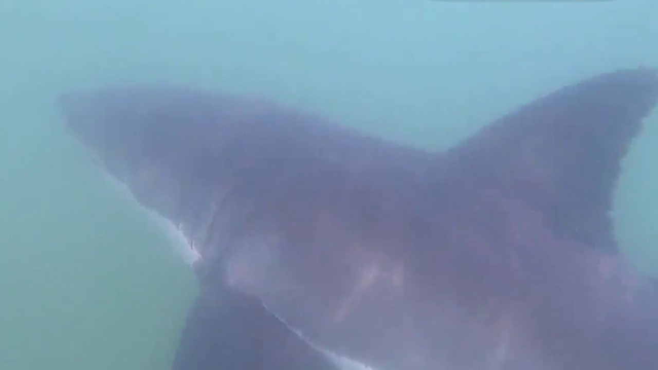
What El Niño means for a 'shark summer' on the California coast
Warmer ocean waters might prompt a more shark-filled summer along the California coast. Chris Lowe is a professor of marine biology and director of the Shark Lab at Cal State, Long Beach,
Warmer ocean waters might prompt a more shark-filled summer along the California coast. Chris Lowe is a professor of marine biology and director of the Shark Lab at Cal State, Long Beach,
Wednesday Warmup
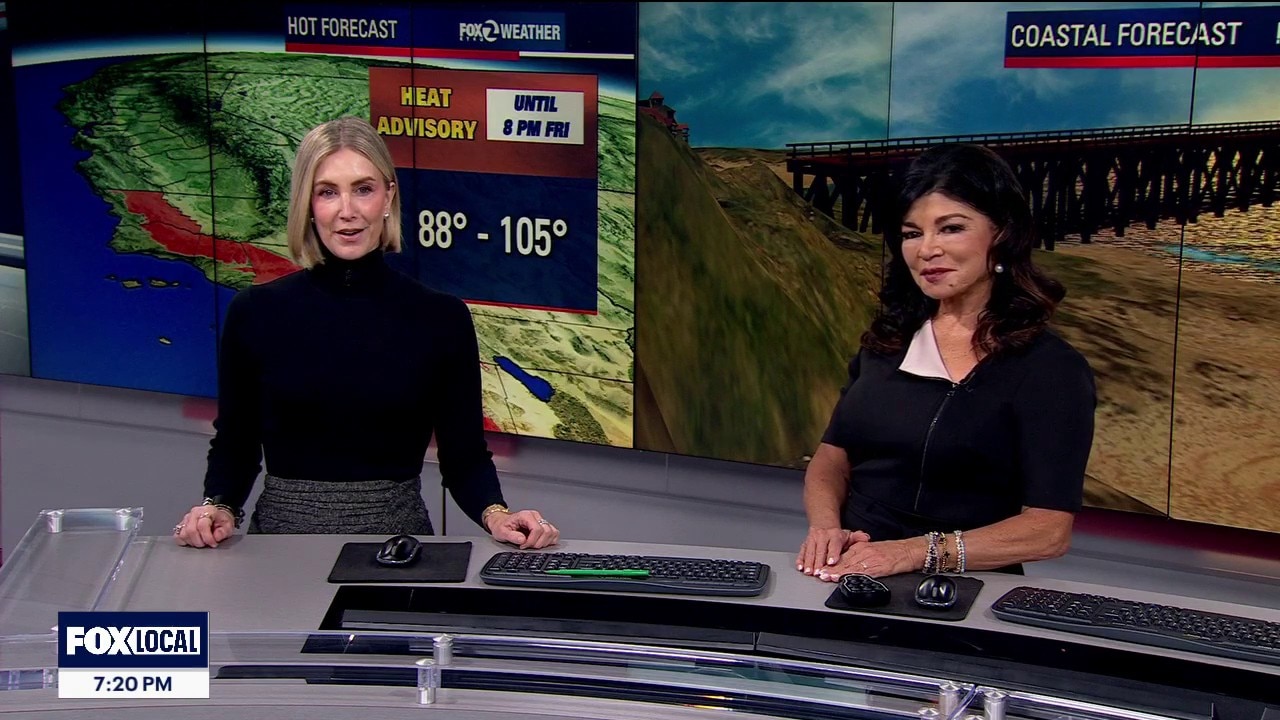
Enjoy tonight's cool air, because the warmer weather back tomorrow. For Wednesday: The Desert Southwest ridge is shifting directly over Southern California, compressing our natural marine layer down to a shallow 1,000 feet. Thursday & Friday Peak: Temperatures will jump 4 to 5 degrees. The Coast & Bayshore: Shielded by the ocean, holding comfortably in the 60s and 70s. Interior Bay Area: Baking in the mid-to-upper 80s, with far North Bay and East Bay valleys pushing into the 90s. Interior Central Coast: Extreme heat will hit the valleys of southern Monterey and San Benito counties, with temperatures cracking the triple-digits at 100°F to 104°F A Beach Hazards warning is locked in today through Friday.This long-interval swell creates an exceptionally high risk for deadly sneaker waves and dangerous rip currents Sneaker waves strike without warning during peaceful lulls, surging dozens of feet up dry sand to sweep beachgoers into the freezing surf. Never turn your back on the ocean!
Enjoy tonight's cool air, because the warmer weather back tomorrow. For Wednesday: The Desert Southwest ridge is shifting directly over Southern California, compressing our natural marine layer down to a shallow 1,000 feet. Thursday & Friday Peak: Temperatures will jump 4 to 5 degrees. The Coast & Bayshore: Shielded by the ocean, holding comfortably in the 60s and 70s. Interior Bay Area: Baking in the mid-to-upper 80s, with far North Bay and East Bay valleys pushing into the 90s. Interior Central Coast: Extreme heat will hit the valleys of southern Monterey and San Benito counties, with temperatures cracking the triple-digits at 100°F to 104°F A Beach Hazards warning is locked in today through Friday.This long-interval swell creates an exceptionally high risk for deadly sneaker waves and dangerous rip currents Sneaker waves strike without warning during peaceful lulls, surging dozens of feet up dry sand to sweep beachgoers into the freezing surf. Never turn your back on the ocean!

Two small earthquakes jolt Napa County, north of St. Helena
The first earthquake, measured at 3.6-magnitude, was centered in the small community of Angwin, just north of St. Helena.
The first earthquake, measured at 3.6-magnitude, was centered in the small community of Angwin, just north of St. Helena.

El Niño surges toward 'monster' territory, signaling an active winter for East and West coasts
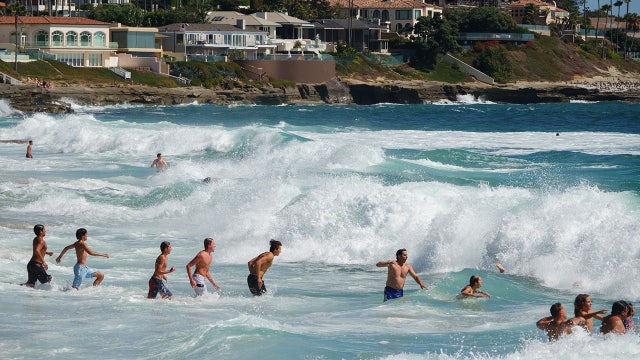
The El Niño surge signals an active winter for East and West coasts.
The El Niño surge signals an active winter for East and West coasts.

Venezuela's construction failures exposed
Mariana Atencio, a Venezuelan-American geopolitical analyst, and speaker, gives insight on the deep structural failures in Venezuela. After the back-to-back June, 24, earthquakes, residents reported that government aid was slow to reach the most affected areas. Some accused the government of impeding the flow of foreign assistance.
Mariana Atencio, a Venezuelan-American geopolitical analyst, and speaker, gives insight on the deep structural failures in Venezuela. After the back-to-back June, 24, earthquakes, residents reported that government aid was slow to reach the most affected areas. Some accused the government of impeding the flow of foreign assistance.

Venezuela's construction failures exposed
Mariana Atencio, a Venezuelan-American geopolitical analyst, and speaker, gives insight on the deep structural failures in Venezuela. After the back-to-back June, 24, earthquakes, residents reported that government aid was slow to reach the most affected areas. Some accused the government of impeding the flow of foreign assistance.
Mariana Atencio, a Venezuelan-American geopolitical analyst, and speaker, gives insight on the deep structural failures in Venezuela. After the back-to-back June, 24, earthquakes, residents reported that government aid was slow to reach the most affected areas. Some accused the government of impeding the flow of foreign assistance.
Another round of fog
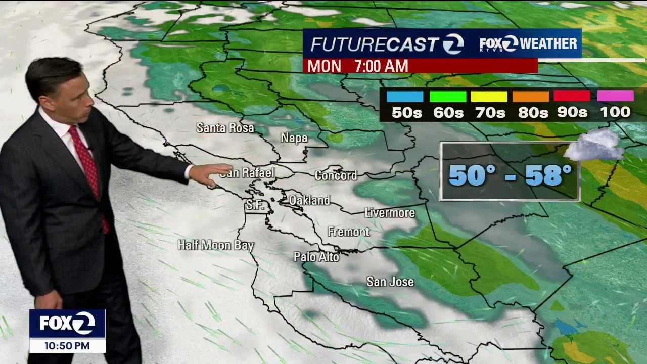
Clouds will blanket most of the Bay Area Monday morning. Partly to mostly sunny skies are expected later in the day. Patchy fog could linger near parts of the shoreline. Highs should range from the low 60s near the coast to the low 80s inland.
Clouds will blanket most of the Bay Area Monday morning. Partly to mostly sunny skies are expected later in the day. Patchy fog could linger near parts of the shoreline. Highs should range from the low 60s near the coast to the low 80s inland.
Closing out the holiday weekend below average
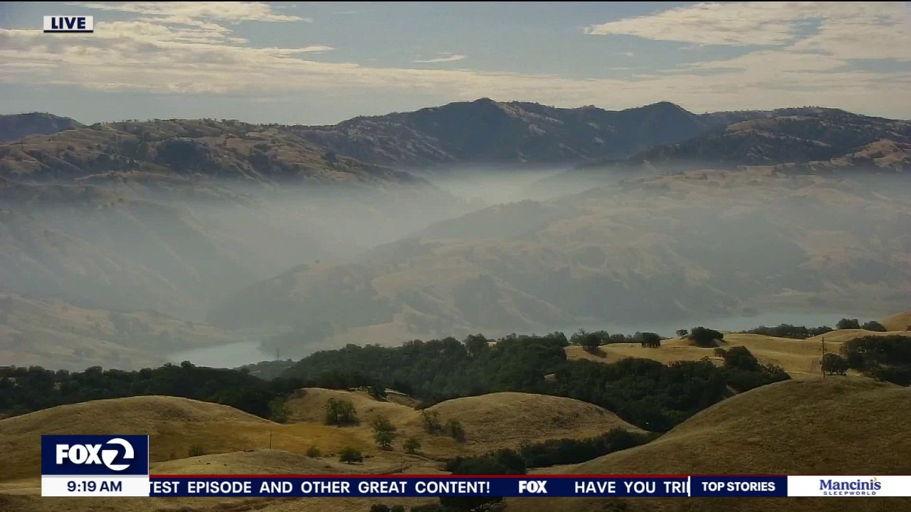
A passing upper-level trough is bringing cooler-than-normal temperatures across the Bay Area and Central Coast today and Monday, with highs mostly in the 60s near the coast, 70s in the Bay, and upper 80s to low 90s in the warmest inland areas. The marine layer stratus continues to expand overnight into the valleys, then retreats back toward the coast each afternoon, keeping coastal skies gray and inland conditions variable. A very slight chance of isolated showers remains mainly for the Central Coast and parts of the Bay Area through late morning, but widespread rain is not expected due to dry air aloft limiting instability. By the second half of the week, a warming trend builds as the trough exits and high pressure returns, bringing drier skies, lighter marine influence, and gradually rising temperatures.
A passing upper-level trough is bringing cooler-than-normal temperatures across the Bay Area and Central Coast today and Monday, with highs mostly in the 60s near the coast, 70s in the Bay, and upper 80s to low 90s in the warmest inland areas. The marine layer stratus continues to expand overnight into the valleys, then retreats back toward the coast each afternoon, keeping coastal skies gray and inland conditions variable. A very slight chance of isolated showers remains mainly for the Central Coast and parts of the Bay Area through late morning, but widespread rain is not expected due to dry air aloft limiting instability. By the second half of the week, a warming trend builds as the trough exits and high pressure returns, bringing drier skies, lighter marine influence, and gradually rising temperatures.
Classic summer weather pattern this Independence Day
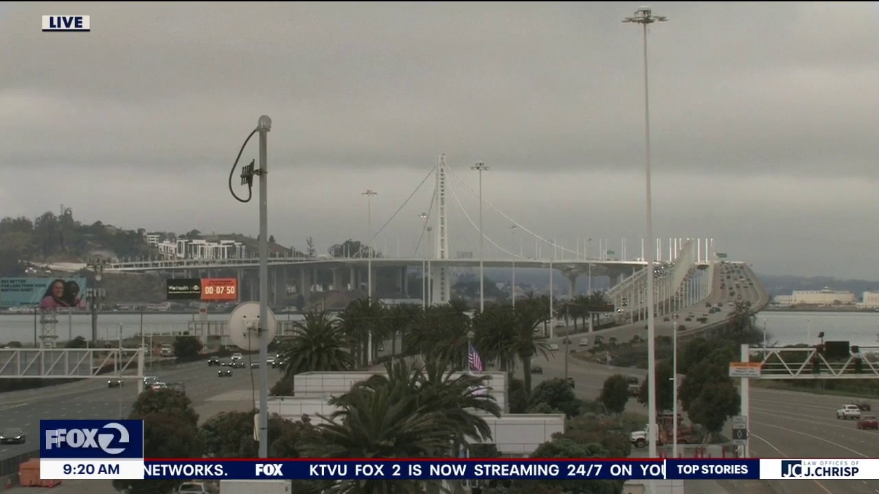
Happy holiday! The Bay Area is enjoying a comfortable weather pattern with cool cloudy mornings giving way to afternoon sunshine for most communities. Afternoon highs reach from low 60s at the coast to upper 80s inland. For folks watching fireworks tonight, temperatures will be in the 50s and 60s. Inland spots should have the best viewing conditions while coastal communities, San Francisco and parts of the bay are likely to have low clouds and fog return after sunset. Additional cooling expected for Sunday.
Happy holiday! The Bay Area is enjoying a comfortable weather pattern with cool cloudy mornings giving way to afternoon sunshine for most communities. Afternoon highs reach from low 60s at the coast to upper 80s inland. For folks watching fireworks tonight, temperatures will be in the 50s and 60s. Inland spots should have the best viewing conditions while coastal communities, San Francisco and parts of the bay are likely to have low clouds and fog return after sunset. Additional cooling expected for Sunday.
"No Sky July" forecast for 4th Of July fireworks show
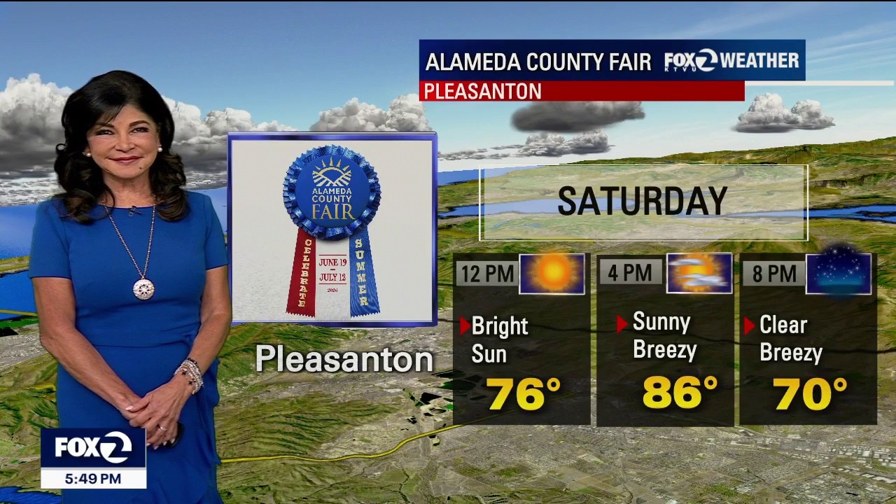
Saturday: The Temperature Breakdown: Pacific Coast & West SF: Crisp and cool, topping out in the 50s and 60s. SF Bay Shoreline (Oakland/Downtown SF): Highly comfortable, reaching the 70s to near 80°F Inland Valleys: Warm and sunny, climbing into the 80s to near 91°F Holiday Heat Risk: Completely safe for outdoor barbecues and festivities. Breezy afternoon winds SW and Westerly 10-20 mph. Statewide Holiday Travel: Smooth driving with hottest temps to the North in Redding (101) and Palm Springs to the Southeast at 105.
Saturday: The Temperature Breakdown: Pacific Coast & West SF: Crisp and cool, topping out in the 50s and 60s. SF Bay Shoreline (Oakland/Downtown SF): Highly comfortable, reaching the 70s to near 80°F Inland Valleys: Warm and sunny, climbing into the 80s to near 91°F Holiday Heat Risk: Completely safe for outdoor barbecues and festivities. Breezy afternoon winds SW and Westerly 10-20 mph. Statewide Holiday Travel: Smooth driving with hottest temps to the North in Redding (101) and Palm Springs to the Southeast at 105.


Lake Geneva boat capsized, 3 children dead after storm hits area
Three children died on Geneva Lake after a boat overturned during severe weather that caused "massive damage" across Walworth County on Friday.
Three children died on Geneva Lake after a boat overturned during severe weather that caused "massive damage" across Walworth County on Friday.


France-Paraguay set to be hottest World Cup match yet
Weather forecasters predict this weekend’s World Cup knockout round clash between France and Paraguay in Philadelphia could be the hottest match of the 2026 tournament so far.
Weather forecasters predict this weekend’s World Cup knockout round clash between France and Paraguay in Philadelphia could be the hottest match of the 2026 tournament so far.
Holiday weekend forecast and traffic
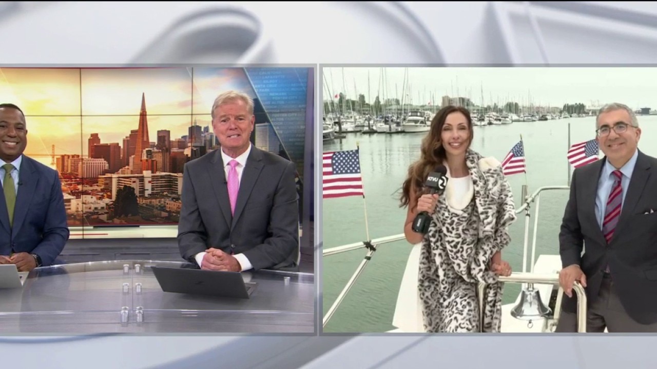
KTVU hopped aboard the Hotel California yacht to deliver the holiday weekend weather and travel forecast.
KTVU hopped aboard the Hotel California yacht to deliver the holiday weekend weather and travel forecast.

Will the fog affect the Golden Gate Bridge fireworks show?
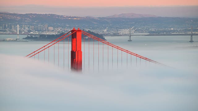
Bay Area residents are poised to be treated to a spectacular fireworks show set off near the Golden Gate Bridge on July 4, but with San Francisco's typical summer weather pattern, the perennial question is: Will the fog cloud the pyrotechnics?
Bay Area residents are poised to be treated to a spectacular fireworks show set off near the Golden Gate Bridge on July 4, but with San Francisco's typical summer weather pattern, the perennial question is: Will the fog cloud the pyrotechnics?
Terrific Thursday, Fabulous Friday
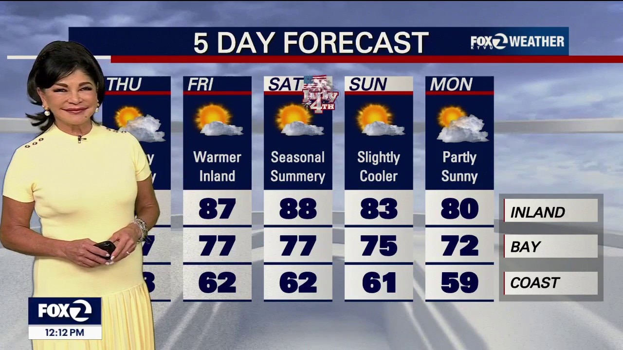
Thursday Forecast (Today's Final Chill & Microclimates) Seasonably Cool Today: One final day under the storm trough means temperatures remain below seasonal July averages. Coastal areas will stay stuck in the 60s, while inland valleys manage the 70s to 80s. Pacifica Southward Cloud Lock: The marine layer will stay stubbornly locked in place today for many coastal communities south of Pacifica. Monterey Bay Cloud Breaks: Unlike earlier this week, the thick clouds over the Monterey Bay will mimic yesterday, giving viewers decent afternoon sun breaks before the fog rushes back inland tonight. Extended Outlook: Summer Heat Rebuilds Next Week Mid-Week Warmup: The Climate Prediction Center is strongly favoring a return to true summer conditions across California through next week.
Thursday Forecast (Today's Final Chill & Microclimates) Seasonably Cool Today: One final day under the storm trough means temperatures remain below seasonal July averages. Coastal areas will stay stuck in the 60s, while inland valleys manage the 70s to 80s. Pacifica Southward Cloud Lock: The marine layer will stay stubbornly locked in place today for many coastal communities south of Pacifica. Monterey Bay Cloud Breaks: Unlike earlier this week, the thick clouds over the Monterey Bay will mimic yesterday, giving viewers decent afternoon sun breaks before the fog rushes back inland tonight. Extended Outlook: Summer Heat Rebuilds Next Week Mid-Week Warmup: The Climate Prediction Center is strongly favoring a return to true summer conditions across California through next week.

Marin County Fair opens with nightly fireworks, World Cup screening
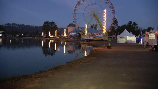
The Marin County Fair opened Wednesday for a five-day run, featuring a large screen for attendees to watch World Cup soccer day or night. Fire officials and law enforcement are emphasizing the safety of professional displays over consumer fireworks, which are facing increasing restrictions across the state due to wildfire dangers.
The Marin County Fair opened Wednesday for a five-day run, featuring a large screen for attendees to watch World Cup soccer day or night. Fire officials and law enforcement are emphasizing the safety of professional displays over consumer fireworks, which are facing increasing restrictions across the state due to wildfire dangers.
From June Gloom to No Sky July
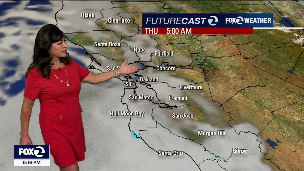
Midweek Forecast (Wednesday & Thursday Cooler) Seasonably Cool: Until the weekend ridge arrives, the lingering storm trough will hold our temperatures a few to several degrees below normal averages for the end of June, into our first day of July. Wednesday Temperatures: Coastlines will remain locked in the chilly upper 50s to near 70°F. Inland valleys will actually drop a few degrees cooler than today, landing comfortably in the 70s to low 80s. Far interior hotspots (like Contra Costa and eastern Monterey counties) will top out in the upper 80s, flirting with the 90-degree mark. Afternoon Breezes: Expect the usual punchy, breezy onshore winds to ramp up every afternoon and evening through Thursday. West and southwest 10-20 MPH.
Midweek Forecast (Wednesday & Thursday Cooler) Seasonably Cool: Until the weekend ridge arrives, the lingering storm trough will hold our temperatures a few to several degrees below normal averages for the end of June, into our first day of July. Wednesday Temperatures: Coastlines will remain locked in the chilly upper 50s to near 70°F. Inland valleys will actually drop a few degrees cooler than today, landing comfortably in the 70s to low 80s. Far interior hotspots (like Contra Costa and eastern Monterey counties) will top out in the upper 80s, flirting with the 90-degree mark. Afternoon Breezes: Expect the usual punchy, breezy onshore winds to ramp up every afternoon and evening through Thursday. West and southwest 10-20 MPH.