

This year's El Niño will likely be strongest on record, forecasters predict in August update
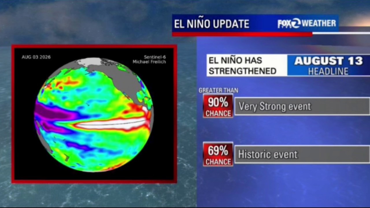
This year's El Niño will likely be strongest on record, forecasters predict
Thursday's update states that there is now at least a 90% chance that strengthening will reach the "Very Strong" classification later in the year.
OAKLAND, Calif. - The Climate Prediction Center released its monthly El Niño briefing Thursday morning.
The conditions continue to warm in the Tropical Pacific and the El Niño has strengthened since their last update.
The area that forecasters monitor is technically called Nino 3.4.
La Niña conditions (cooler than normal water temperatures) were present in this same area earlier in the year. The rapid shift over the past six months shows no signs of slowing down.
August El Niño Update
What we know:
Thursday's update states that there is now at least a 90% chance that strengthening will reach the "Very Strong" classification later in the year.
There is also a 69% chance of a historic event.
Forecasters rely on an array of specialized computer models to predict the strength of El Niño.
The majority of the forecast models indicate that the developing event will be the strongest on record.
There have been 4 Very Strong El Niño events since 1950.
- 1982 - 1983
- 1992 - 1993
- 1997 - 1998
- 2015 - 2016
El Niño has the potential to influence the winter storm and produce above average rain and snow. The latest extended forecast (December 2026 - February 2027) from the Climate Prediction Center shows a higher chance of above normal rainfall in Southern California.
The Bay Area, along with most of the state, has an "Equal Chance" of above normal or below normal precipitation.
The next precipitation outlook is scheduled for Aug. 22.
For more background information, check out the dedicated El Niño site prepared by the KTVU Weather Team.
The Source: National Weather Service Climate Prediction Center