


Bay Area weather on repeat
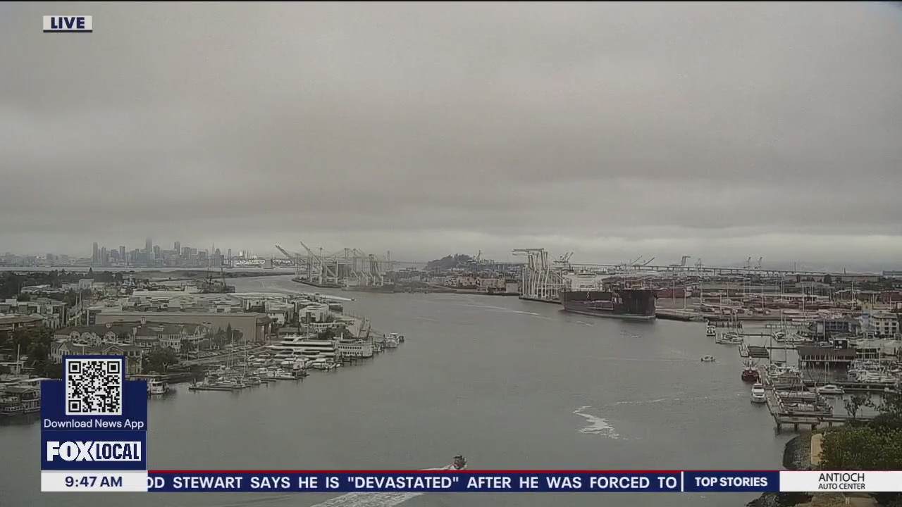
Cloudy mornings and mostly sunny afternoons away from the coast remain the norm for now. Only subtle changes are expected for the days ahead with a modest drop in afternoon highs in the forecast for the second half of the business week. Click the link for a full view of our weather pattern. Have a great day ~ Rosemary
Cloudy mornings and mostly sunny afternoons away from the coast remain the norm for now. Only subtle changes are expected for the days ahead with a modest drop in afternoon highs in the forecast for the second half of the business week. Click the link for a full view of our weather pattern. Have a great day ~ Rosemary

June gloom in full swing
We're stuck in a classic June gloom setup with morning clouds, clearing to the coast by afternoon and seasonal temperatures. Daytime highs will range from low 60s at the coast to low 80s inland. Enjoy ~ Rosemary
We're stuck in a classic June gloom setup with morning clouds, clearing to the coast by afternoon and seasonal temperatures. Daytime highs will range from low 60s at the coast to low 80s inland. Enjoy ~ Rosemary


Sunny, windy
Today will be sunny and slightly windy.
Today will be sunny and slightly windy.

No big changes
Low clouds will make their push into the bay Friday morning. Spotty drizzle could return as well. Our cool to mild pattern continues. Highs should range from the low 60s to the mid 80s. Temperatures may warm slightly over the weekend.
Low clouds will make their push into the bay Friday morning. Spotty drizzle could return as well. Our cool to mild pattern continues. Highs should range from the low 60s to the mid 80s. Temperatures may warm slightly over the weekend.


Slightly below average
Today will see slightly below temps in the 70s and 80s.
Today will see slightly below temps in the 70s and 80s.


Low clouds, sunny
Low clouds in the morning. Sunny for most in the afternoon.
Low clouds in the morning. Sunny for most in the afternoon.


Clouds, sun
Today will be cloudy in the morning and sunny for most in the afternoon.
Today will be cloudy in the morning and sunny for most in the afternoon.


Minor weather changes this week
No big changes in the Bay Area forecast. Low clouds and fog will resurface near the coast and bay Tuesday morning. We are expecting increasing sunshine later in the day. Tuesday afternoon highs should range from the low 60s to the mid 80s. This pattern will stick around for most of the week.
No big changes in the Bay Area forecast. Low clouds and fog will resurface near the coast and bay Tuesday morning. We are expecting increasing sunshine later in the day. Tuesday afternoon highs should range from the low 60s to the mid 80s. This pattern will stick around for most of the week.


Temps in the 60s
Today's temps will be in the 60s.
Today's temps will be in the 60s.


Mild to warm pattern
Much cooler today! Most of the Bay Area cooled around 10 to 20 degrees from Saturday's toasty readings. We are expecting patchy clouds Monday morning. More sunshine in the afternoon. Highs should range from the low 60s to the mid 80s.
Much cooler today! Most of the Bay Area cooled around 10 to 20 degrees from Saturday's toasty readings. We are expecting patchy clouds Monday morning. More sunshine in the afternoon. Highs should range from the low 60s to the mid 80s.


Clear skies could give NorCal views of Northern Lights
Projections show that the Aurora Borealis may just be visible in the northern reaches of California.
Projections show that the Aurora Borealis may just be visible in the northern reaches of California.


Dramatic drop in temperatures today
The brief hot spell is over with a significant drop in temperatures today. Afternoon highs will range from upper 50s at the coast to low 80s inland with only subtle changes expected for the days ahead.
The brief hot spell is over with a significant drop in temperatures today. Afternoon highs will range from upper 50s at the coast to low 80s inland with only subtle changes expected for the days ahead.


A slight dip in afternoon highs today
A modest drop in temperatures arrives today with inland areas still feeling the heat. A Heat Advisory remains in effect until 8PM for the interior Napa Hills, Carquinez Strait, Delta, East Bay and Santa Clara Valleys where temps. will range from upper 80s to upper 90s. A significant cool down is in the forecast for tomorrow.
A modest drop in temperatures arrives today with inland areas still feeling the heat. A Heat Advisory remains in effect until 8PM for the interior Napa Hills, Carquinez Strait, Delta, East Bay and Santa Clara Valleys where temps. will range from upper 80s to upper 90s. A significant cool down is in the forecast for tomorrow.


One more hot day inland
A big temperature spike Friday! The warm to hot pattern sticks around for one more day. The warmest parts of the Bay Area will approach the upper 90s Saturday afternoon. We are expecting a major temperature drop Sunday. No heat in our forecast next week. Have a great weekend! -Mark
A big temperature spike Friday! The warm to hot pattern sticks around for one more day. The warmest parts of the Bay Area will approach the upper 90s Saturday afternoon. We are expecting a major temperature drop Sunday. No heat in our forecast next week. Have a great weekend! -Mark


Hottest temps
Hottest temps of the week on Friday.
Hottest temps of the week on Friday.


Friday Heat Advisory
We are expecting a big temperature spike in the Friday forecast....especially inland. A Heat Advisory has been drafted for parts of the Bay Area. The hottest locations could approach 101 degrees. Friday is the hottest day of the stretch. Significant cooling moves in Sunday. Try to stay cool and drink lots of water. -Mark
We are expecting a big temperature spike in the Friday forecast....especially inland. A Heat Advisory has been drafted for parts of the Bay Area. The hottest locations could approach 101 degrees. Friday is the hottest day of the stretch. Significant cooling moves in Sunday. Try to stay cool and drink lots of water. -Mark


Warmer weather
Today will be warmer, with highs reaching the mid 80s in Santa Rosa and Livermore.
Today will be warmer, with highs reaching the mid 80s in Santa Rosa and Livermore.


Warming begins
Low clouds will resurface near the coast and bay Thursday morning. The clouds will clear back to near the shoreline later in the day. Our warming trend begins! Highs should range from the low 60s near the coast to the upper 80s inland. Friday will be the hottest day of the week. Heat Advisories have been posted for parts of the Bay Area.
Low clouds will resurface near the coast and bay Thursday morning. The clouds will clear back to near the shoreline later in the day. Our warming trend begins! Highs should range from the low 60s near the coast to the upper 80s inland. Friday will be the hottest day of the week. Heat Advisories have been posted for parts of the Bay Area.


Cooler
Today will be cooler with highs in the 60s and 70s.
Today will be cooler with highs in the 60s and 70s.


Mostly sunny
Today will be mostly sunny, highs in the mid-70s and 80s.
Today will be mostly sunny, highs in the mid-70s and 80s.