


3.3 magnitude earthquake rattles Lake County
The USGS reported the earthquake at 10:14 a.m.
The USGS reported the earthquake at 10:14 a.m.


Sun and clouds
There will be sun and clouds today. The showers should dry up by trick-or-treating.
There will be sun and clouds today. The showers should dry up by trick-or-treating.


A cool Halloween forecast
Our next system will move into the Bay Area Wednesday night. Rainfall will be concentrated in the North Bay. A few light showers will move into the South Bay early Thursday morning. Your Halloween forecast features partly cloudy skies and cool temperatures. Highs should range from the upper 50s to the upper 60s. There is just the slight chance of a few sprinkles for the ghosts and goblins looking for candy. A stronger system is scheduled to arrive Friday night. Have a great Halloween! -Mark
Our next system will move into the Bay Area Wednesday night. Rainfall will be concentrated in the North Bay. A few light showers will move into the South Bay early Thursday morning. Your Halloween forecast features partly cloudy skies and cool temperatures. Highs should range from the upper 50s to the upper 60s. There is just the slight chance of a few sprinkles for the ghosts and goblins looking for candy. A stronger system is scheduled to arrive Friday night. Have a great Halloween! -Mark


San Francisco weather: The Bay Area forecast for Halloween
As the kiddos are gearing up to dress as Taylor Swift and characters from Despicable Me this Halloween, they will undoubtedly have this looming question: Will I have to wear a coat – maybe even a raincoat – over my costume?
As the kiddos are gearing up to dress as Taylor Swift and characters from Despicable Me this Halloween, they will undoubtedly have this looming question: Will I have to wear a coat – maybe even a raincoat – over my costume?


Rain arrives in evening
Rain is expected to arrive later in the evening, mostly in the North Bay.
Rain is expected to arrive later in the evening, mostly in the North Bay.


Magnitude 3.2 earthquake rattles Windsor
An earthquake with a preliminary magnitude of 3.2 struck northeast of Windsor on Tuesday evening, the U.S. Geological Survey said.
An earthquake with a preliminary magnitude of 3.2 struck northeast of Windsor on Tuesday evening, the U.S. Geological Survey said.


Sierra blanketed with October snow, more expected
A fall storm brought an inch of snow in the Sierra Nevada over a 24 hour period on Monday and Tuesday, and the forecast shows there's more on the way.
A fall storm brought an inch of snow in the Sierra Nevada over a 24 hour period on Monday and Tuesday, and the forecast shows there's more on the way.


Shower chances increasing
A cool weather system will approach the Bay Area Wednesday. After a chilly start, clouds will be increasing during the afternoon. Shower chances will be increasing Wednesday evening. Highs should range from the low 60s near the coast to the low 70s inland. Shower chances will favor the North Bay Thursday evening (Halloween).
A cool weather system will approach the Bay Area Wednesday. After a chilly start, clouds will be increasing during the afternoon. Shower chances will be increasing Wednesday evening. Highs should range from the low 60s near the coast to the low 70s inland. Shower chances will favor the North Bay Thursday evening (Halloween).


When does daylight saving time end? Here's when we'll 'fall back'
Like clockwork, with the season of pumpkin spice, autumnal leaves, and cooler temperatures, comes the annual practice of turning back the clock.
Like clockwork, with the season of pumpkin spice, autumnal leaves, and cooler temperatures, comes the annual practice of turning back the clock.


Cold start, sunny afternoon
Today will start off chilly and then warm up in the afternoon.
Today will start off chilly and then warm up in the afternoon.


Beloved 'Rainbow Bridge' in North Carolina honors lost pets washed away by Helene
The area was slammed by about 22.5 inches of rain from Helene during Sept. 24-28.
The area was slammed by about 22.5 inches of rain from Helene during Sept. 24-28.


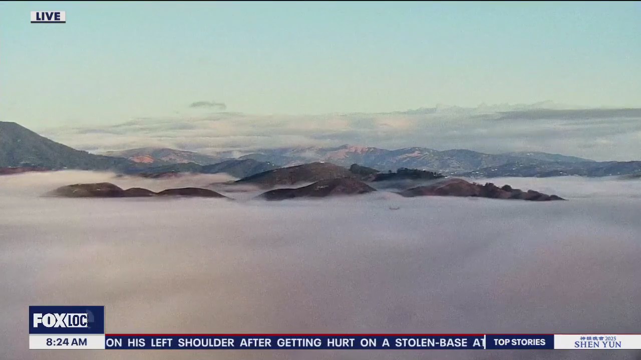
Sunny and cool Monday morning
KTVU Meteorologist Steve Paulson shares the latest forecast.
KTVU Meteorologist Steve Paulson shares the latest forecast.

Cooler with a chance of sprinkles
A new weather pattern is bringing cloudier, cooler conditions with slight chance of showers today and tomorrow. Afternoon highs will range from low 60s at the coast to low 70s inland.
A new weather pattern is bringing cloudier, cooler conditions with slight chance of showers today and tomorrow. Afternoon highs will range from low 60s at the coast to low 70s inland.


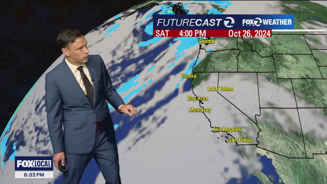
Cooler weather on the way
A cool weather system will usher in more clouds in your Sunday forecast. The chance of a light shower has been added to the forecast....favoring the North Bay. Our cooling trend begins! Highs should range from the low 60s near the coast to the low 70s inland. The cooler pattern will remain anchored in our forecast for the upcoming week. Have a great Sunday! -Mark
A cool weather system will usher in more clouds in your Sunday forecast. The chance of a light shower has been added to the forecast....favoring the North Bay. Our cooling trend begins! Highs should range from the low 60s near the coast to the low 70s inland. The cooler pattern will remain anchored in our forecast for the upcoming week. Have a great Sunday! -Mark


Powerlines down, evac orders in place as wildfire burns in Santa Cruz
A wildfire burning in Santa Cruz has prompted evacuation orders for certain residents Saturday evening.
A wildfire burning in Santa Cruz has prompted evacuation orders for certain residents Saturday evening.
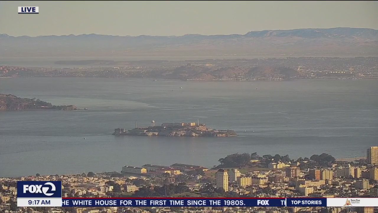

Mostly cloudy and mild today
After a chilly start, temperatures will be slightly above average for the afternoon under mostly cloudy skies. Cooler conditions and slight chance of showers for parts of the bay area arrive tomorrow.
After a chilly start, temperatures will be slightly above average for the afternoon under mostly cloudy skies. Cooler conditions and slight chance of showers for parts of the bay area arrive tomorrow.

Another nice forecast
After a chilly start Thursday morning, temperatures should recover nicely during the afternoon. Highs should range from the upper 60s near the coast to the low 80s inland. No big changes in your Friday forecast. We are expecting more clouds this weekend. A slight chance of North Bay showers has been added to the Sunday forecast. Have a great Thursday! -Mark
After a chilly start Thursday morning, temperatures should recover nicely during the afternoon. Highs should range from the upper 60s near the coast to the low 80s inland. No big changes in your Friday forecast. We are expecting more clouds this weekend. A slight chance of North Bay showers has been added to the Sunday forecast. Have a great Thursday! -Mark

Sunshine
Today will be sunny and warm.
Today will be sunny and warm.


Florida residents planning to sell homes, leave the state after hurricane season: 'We're done'
After back-to-back storms this hurricane season, many residents are planning to sell their homes to either move out of flood zones, or out of the Sunshine State completely. Some wasted no time with a contract for a new home.
After back-to-back storms this hurricane season, many residents are planning to sell their homes to either move out of flood zones, or out of the Sunshine State completely. Some wasted no time with a contract for a new home.


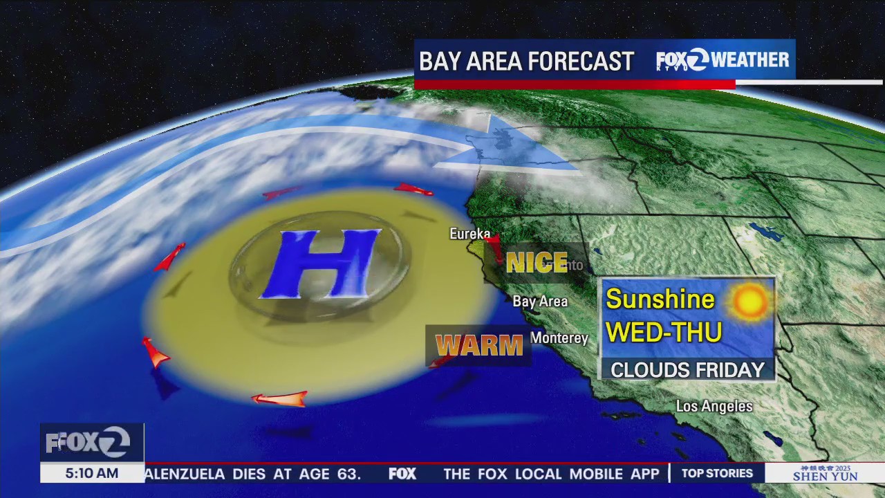
Slightly warmer forecast
Patchy fog resurfaces early Wednesday morning. Mostly sunny skies and slightly warmer temperatures will highlight the afternoon forecast. Highs should range from the mid 60s near the coast to the low 80s inland. This pleasant weather pattern sticks around through Friday. We are expecting more clouds this weekend. The slight chance of showers has been added to the Sunday forecast (favoring the North Bay). Have great Wednesday! -Mark
Patchy fog resurfaces early Wednesday morning. Mostly sunny skies and slightly warmer temperatures will highlight the afternoon forecast. Highs should range from the mid 60s near the coast to the low 80s inland. This pleasant weather pattern sticks around through Friday. We are expecting more clouds this weekend. The slight chance of showers has been added to the Sunday forecast (favoring the North Bay). Have great Wednesday! -Mark